Transport Functions
Multimodal
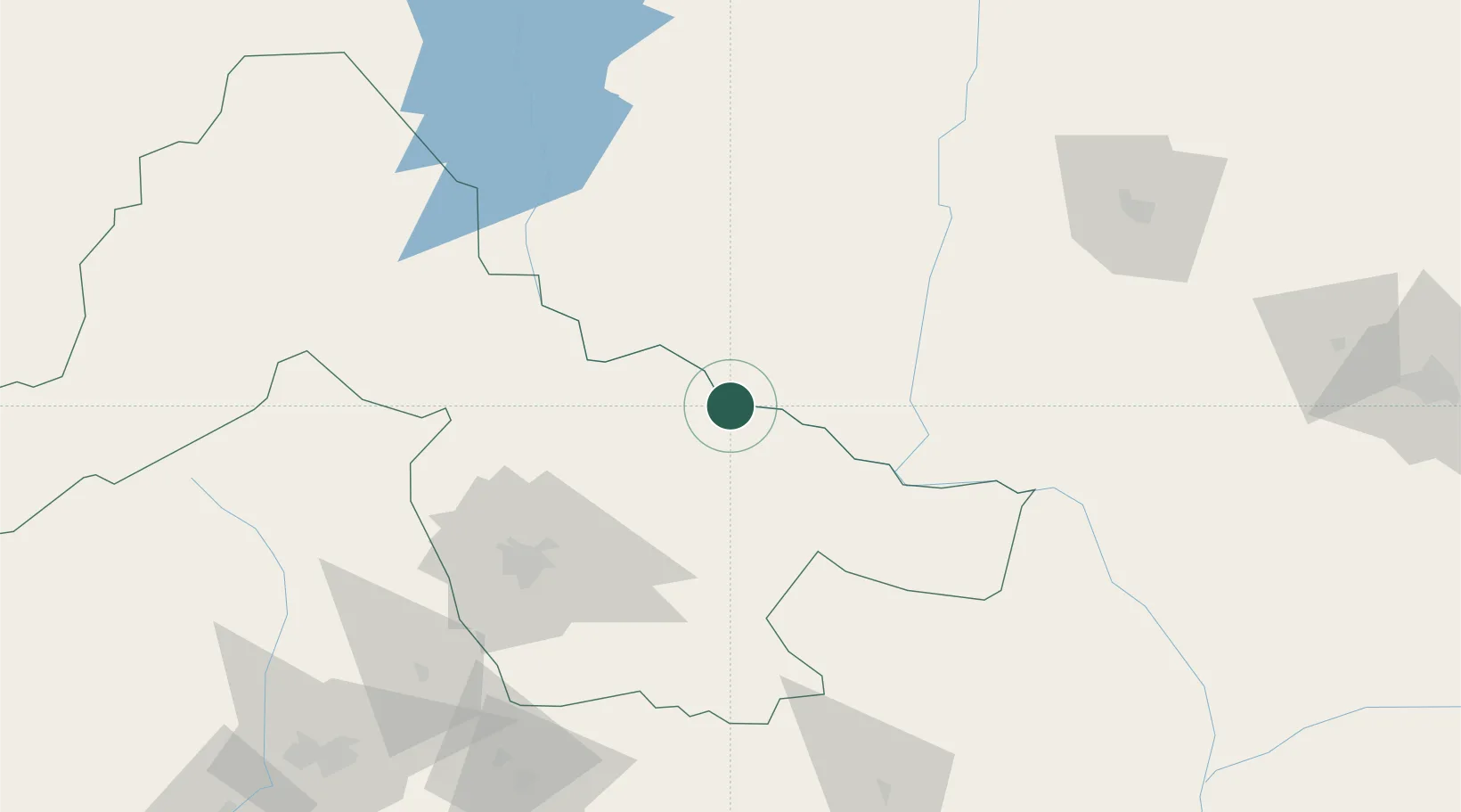
Hub Profile
Place type
Populated place
Region
Kwara State
Time zone
Africa/Lagos
Elevation
94 m
Location
Nearby Logistics Neighbours
Ports
- 1Koko335 km
- 2Sapele348 km
- 3Lagos353 km
- 4Tin Can Island360 km
- 5Ukpokiti Marine Terminal366 km
Airports
- 1General Tunde Idiagbon International Airport102 km
- 2Minna Airport153 km
- 3Akure Airport195 km
- 4Nnamdi Azikiwe International Airport223 km
- 5Ibadan Airport229 km
Trade Zones
- 1Living Spring Free Trade Zone153 km
- 2Centenary City225 km
- 3Abuja Technology Village Free Zone238 km
- 4Oluyole Free Trade Zone238 km
- 5Abuja Tech. Village Free Zone249 km
DatabookThe Record of Consolidated Knowledge
Nigeria beyond logistics?