Large airport · Nigeria

Sadiq Abubakar III International AirportDNSO
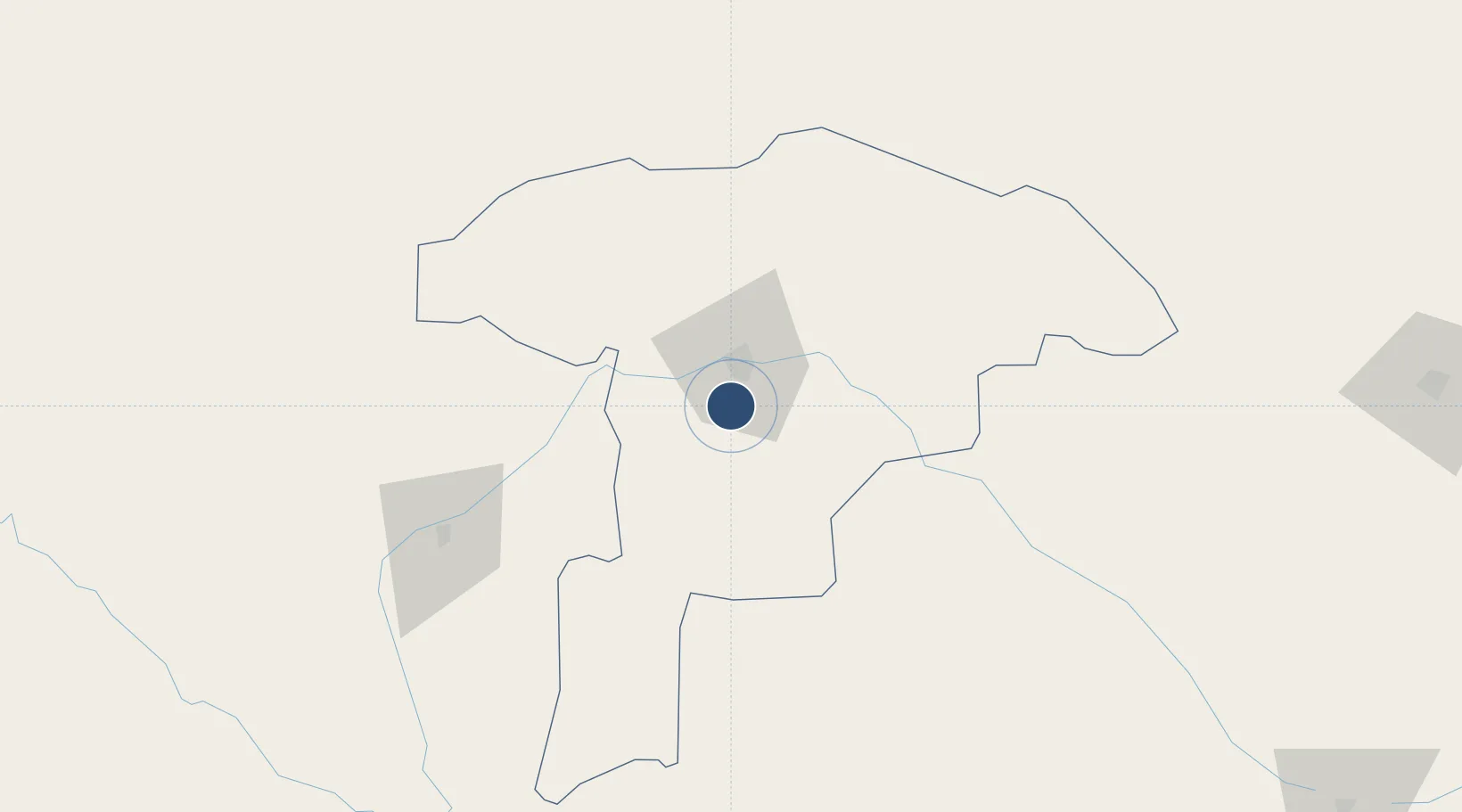
12.9157°, 5.2075°
9,844 ft
Longest runway
1
Runways
1,010 ft
Elevation

Runway & Layout

Sadiq Abubakar III International Airport runway & taxiway layout
Runway & taxiway layout — OpenStreetMap (ODbL) / OurAirports

Radio Frequencies

TWR
122.1 MHz
SOKOTO TWR
OurAirports

Navaids

SOK VOR-DME Sokoto 113.90 MHz
OurAirports

Runways · 1

RunwayDimensions SurfaceTrue headingLit
08/26 9,844 × 197ft Asphalt 077°
OurAirports

Airport Specifications

IATA code
SKO
OurAirports
ICAO code
DNSO
OurAirports
Airport class
Large airport
OurAirports
Scheduled service
Yes
OurAirports
Runway surface
Asphalt
OurAirports
Served city
Sokoto
OurAirports

Location

Location of DNSO
Natural Earth 10m (public domain) · Sokoto · DNSO · 12.92, 5.21GoogleOSMYandex

Nearby Logistics Neighbours

Airports
  1. 1Sir Ahmadu Bello International Airport103 km
  2. 2Gusau Airport182 km
  3. 3Maradi Airport218 km
  4. 4Tahoua Airport218 km
  5. 5Umaru Musa Yar'adua Airport266 km
Nearest neighbours — logibook spatial index (haversine) over the source coordinates
Cities
  1. 1Kebbi103 km
  2. 2Gaya224 km
  3. 3Katsina258 km
  4. 4Zamfarawa312 km
  5. 5Kano373 km
Nearest neighbours — logibook spatial index (haversine) over the source coordinates
Ports
  1. 1Lagos751 km
  2. 2Tin Can Island758 km
  3. 3Koko770 km
  4. 4Sapele782 km
  5. 5Cotonou791 km
Nearest neighbours — logibook spatial index (haversine) over the source coordinates
Trade Zones
  1. 1Kwara Free Trade Zone210 km
  2. 2Maradi Free Zone217 km
  3. 3Dosso Dry Port218 km
  4. 4Plateau de Bougoum Industrial Zone345 km
  5. 5Kano Free Trade Zone374 km
Nearest neighbours — logibook spatial index (haversine) over the source coordinates
DatabookThe Record of Consolidated Knowledge
Nigeria beyond logistics?
Browse databook

All Sources

AirportsOurAirports
Public domain
Portsthe NGA World Port Index
Public domain (US gov)
LocationsUN/LOCODE
UN/LOCODE — free
Trade Zonesthe World Bank SEZ database
CC BY 4.0
Trade ZonesOpen Zone Map
CC BY
InfrastructureOpenStreetMap
ODbL 1.0
← Nigeria airports