Transport Functions
Multimodal
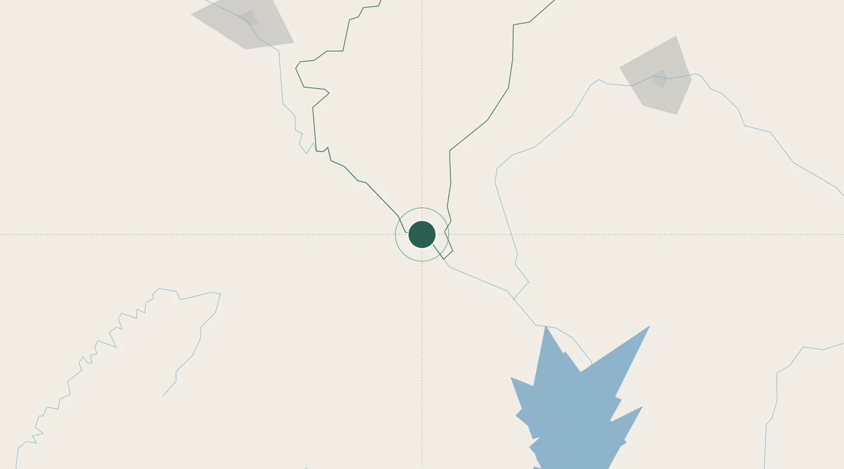
Hub Profile
Place type
Provincial seat
Region
Dosso Region
Population
61,533
Time zone
Africa/Niamey
Elevation
177 m
Location
Nearby Logistics Neighbours
Ports
- 1Lagos610 km
- 2Tin Can Island615 km
- 3Cotonou625 km
- 4Kpeme666 km
- 5Lome682 km
Airports
Trade Zones
- 1Kwara Free Trade Zone100 km
- 2Dosso Dry Port128 km
- 3Plateau de Bougoum Industrial Zone232 km
- 4Maradi Free Zone438 km
- 5Living Spring Free Trade Zone470 km
DatabookThe Record of Consolidated Knowledge
Niger beyond logistics?