Export Processing Zone · Burkina Faso

Kossodo Industrial Zone Active
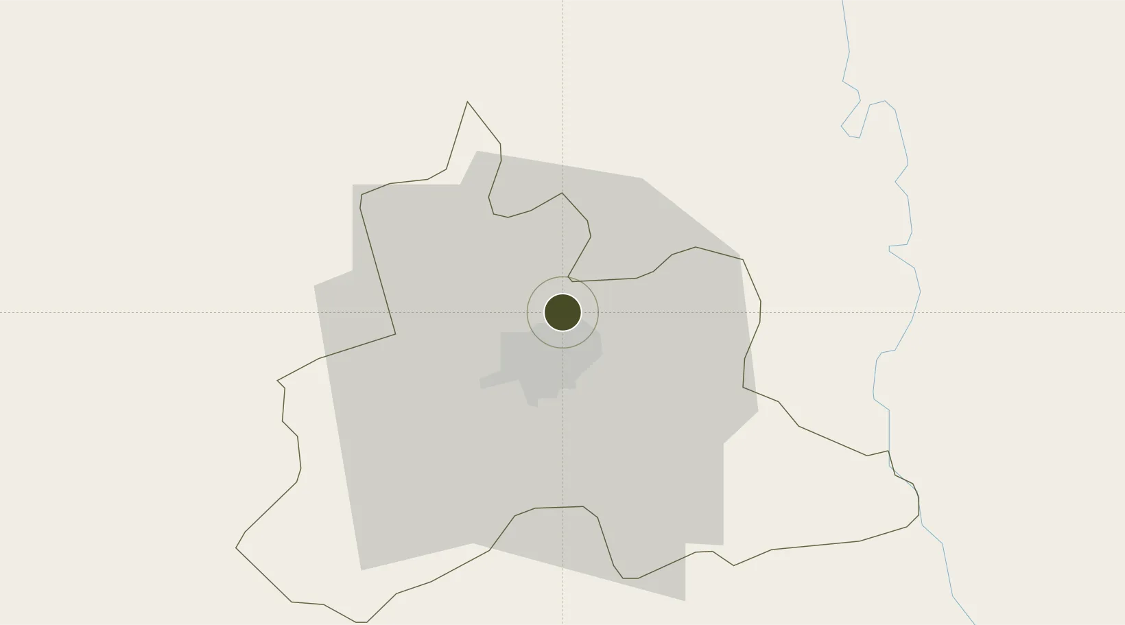
12.4236°, -1.4832°
13 ha
Zone area
762.4 km
Nearest port
8.4 km
Nearest airport

Gateway access

Nearest neighbours — logibook spatial index (haversine) over the source coordinates

Zone profile

Zone type
Export Processing Zone
Open Zone Map
Region
Kadiogo
Open Zone Map
Status
Active
Open Zone Map
Management
Public
Open Zone Map
Operator
Ministry of Industry
Open Zone Map
Legal framework
Decree No. 1-97/MCPEA/MEF/MEE
Open Zone Map

Location

Location of ozm-245
Natural Earth 10m (public domain) · Kadiogo · ozm-245 · 12.42, -1.48GoogleOSMYandex

Nearby Logistics Neighbours

Ports
  1. 1Lome762 km
  2. 2Kpeme766 km
  3. 3Tema773 km
  4. 4Cotonou800 km
  5. 5Saltpond805 km
Nearest neighbours — logibook spatial index (haversine) over the source coordinates
Airports
  1. 1Ouagadougou Thomas Sankara International Airport8 km
  2. 2Yakubu Tali International Airport326 km
  3. 3Bobo Dioulasso Airport340 km
  4. 4Mopti Airport364 km
  5. 5Niamtougou International Airport408 km
Nearest neighbours — logibook spatial index (haversine) over the source coordinates
Cities
  1. 1Ziniaré27 km
  2. 2Koudougou98 km
  3. 3Bolgatanga195 km
  4. 4Gumani340 km
  5. 5Bérégadougou401 km
Nearest neighbours — logibook spatial index (haversine) over the source coordinates
Trade Zones
  1. 1Goughin Industrial Zone9 km
  2. 2Diverse Activities Zone of Ouagadougou10 km
  3. 3Tamale Industrial Park345 km
  4. 4Mopti Industrial Zone372 km
  5. 5Plateau de Bougoum Industrial Zone404 km
Nearest neighbours — logibook spatial index (haversine) over the source coordinates
DatabookThe Record of Consolidated Knowledge
Burkina Faso beyond logistics?
Browse databook

All Sources

Trade ZonesOpen Zone Map
CC BY
Portsthe NGA World Port Index
Public domain (US gov)
AirportsOurAirports
Public domain
LocationsUN/LOCODE
UN/LOCODE — free
← Burkina Faso trade zones