Export Processing Zone · Mali

Gao Industrial Zone Active
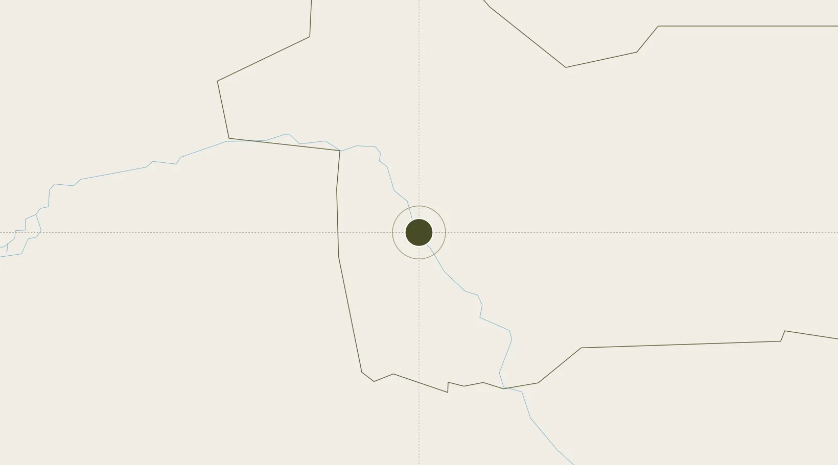
16.2489°, -0.0220°
30 ha
Zone area
1,129.9 km
Nearest port
1.8 km
Nearest airport

Gateway access

Nearest neighbours — logibook spatial index (haversine) over the source coordinates

Zone profile

Zone type
Export Processing Zone
Open Zone Map
Region
Gao
Open Zone Map
Status
Active
Open Zone Map
Management
Public
Open Zone Map
Operator
Government of Mali
Open Zone Map
Legal framework
Law No. 2012-01-6 of 27 February 20/2
Open Zone Map

Location

Location of ozm-2823
Natural Earth 10m (public domain) · Gao · ozm-2823 · 16.25, -0.02GoogleOSMYandex

Nearby Logistics Neighbours

Ports
  1. 1Kpeme1130 km
  2. 2Cotonou1133 km
  3. 3Lome1134 km
  4. 4Lagos1157 km
  5. 5Tin Can Island1160 km
Nearest neighbours — logibook spatial index (haversine) over the source coordinates
Airports
  1. 1Gao International Airport2 km
  2. 2Tombouktou Airport323 km
  3. 3Diori Hamani International Airport388 km
  4. 4Ouagadougou Thomas Sankara International Airport462 km
  5. 5Mopti Airport476 km
Nearest neighbours — logibook spatial index (haversine) over the source coordinates
Cities
  1. 1Ziniaré430 km
  2. 2Koudougou513 km
  3. 3Gaya612 km
  4. 4Bolgatanga614 km
  5. 5Kebbi688 km
Nearest neighbours — logibook spatial index (haversine) over the source coordinates
Trade Zones
  1. 1Timbuktu Industrial Zone321 km
  2. 2Plateau de Bougoum Industrial Zone380 km
  3. 3Kossodo Industrial Zone454 km
  4. 4Goughin Industrial Zone462 km
  5. 5Diverse Activities Zone of Ouagadougou464 km
Nearest neighbours — logibook spatial index (haversine) over the source coordinates
DatabookThe Record of Consolidated Knowledge
Mali beyond logistics?
Browse databook

All Sources

Trade ZonesOpen Zone Map
CC BY
Portsthe NGA World Port Index
Public domain (US gov)
AirportsOurAirports
Public domain
LocationsUN/LOCODE
UN/LOCODE — free
← Mali trade zones