Transport Functions
Port
Road
Hub Profile
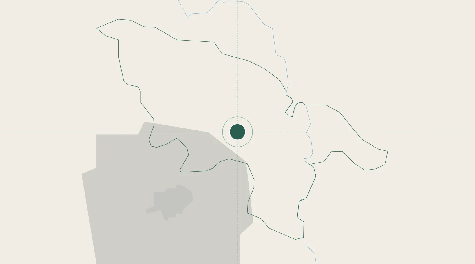
Place type
Regional capital
Region
Plateau-Central
Population
33,296
Time zone
Africa/Ouagadougou
Elevation
303 m
Location
Nearby Logistics Neighbours
Cities
- 1Koudougou122 km
- 2Bolgatanga206 km
- 3Gumani353 km
- 4Bérégadougou427 km
- 5Gaya520 km
Airports
Trade Zones
- 1Kossodo Industrial Zone27 km
- 2Diverse Activities Zone of Ouagadougou36 km
- 3Goughin Industrial Zone36 km
- 4Tamale Industrial Park359 km
- 5Mopti Industrial Zone378 km
DatabookThe Record of Consolidated Knowledge
Burkina Faso beyond logistics?