Transport Functions
Multimodal
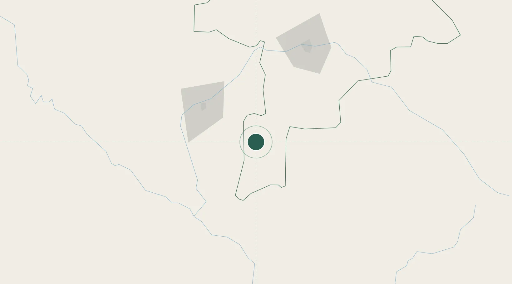
Hub Profile
Place type
Populated place
Region
Niger State
Time zone
Africa/Lagos
Elevation
360 m
Location
Nearby Logistics Neighbours
Ports
- 1Lagos652 km
- 2Tin Can Island659 km
- 3Koko685 km
- 4Cotonou689 km
- 5Sapele699 km
Airports
- 1Sir Ahmadu Bello International Airport57 km
- 2Sadiq Abubakar III International Airport103 km
- 3Gusau Airport214 km
- 4Maradi Airport302 km
- 5Tahoua Airport312 km
Trade Zones
- 1Kwara Free Trade Zone108 km
- 2Dosso Dry Port195 km
- 3Maradi Free Zone300 km
- 4Plateau de Bougoum Industrial Zone326 km
- 5Kano Free Trade Zone414 km
DatabookThe Record of Consolidated Knowledge
Nigeria beyond logistics?