Export Processing Zone · Mozambique

Revúboè (Revubue) Industrial Free Zone Active
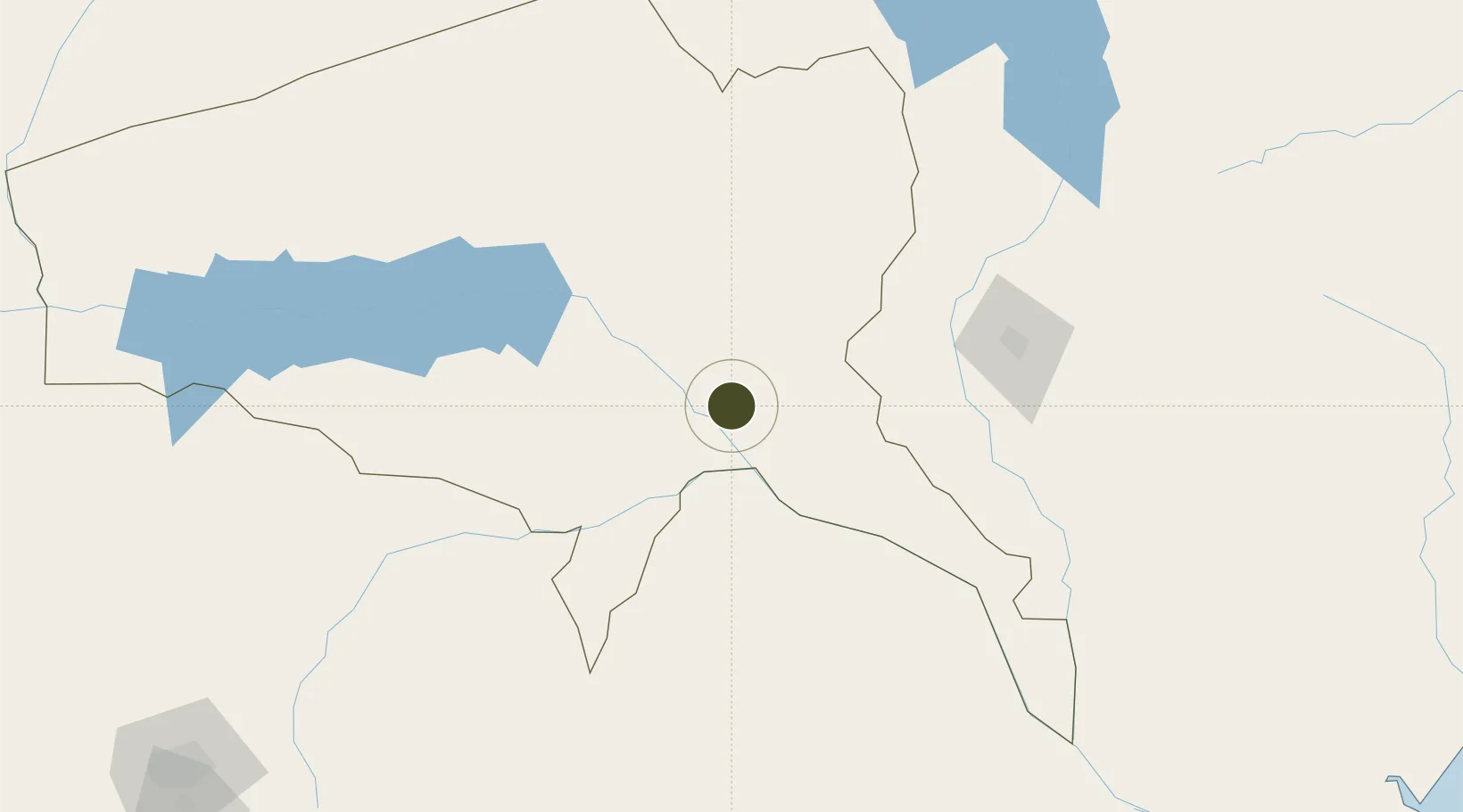
-16.1052°, 33.6892°
4 ha
Zone area
393.0 km
Nearest port
5.2 km
Nearest airport

Gateway access

Nearest neighbours — logibook spatial index (haversine) over the source coordinates

Zone profile

Zone type
Export Processing Zone
Open Zone Map
Region
Tete
Open Zone Map
Status
Active
Open Zone Map
Management
Private
Open Zone Map
Operator
Capitol Iron & Steel Ltd.
Open Zone Map
Legal framework
Decree 41/2016 of 3 October 2016
Open Zone Map

Location

Location of ozm-2885
Natural Earth 10m (public domain) · Tete · ozm-2885 · -16.11, 33.69GoogleOSMYandex

Nearby Logistics Neighbours

Ports
  1. 1Quelimane393 km
  2. 2Chinde405 km
  3. 3Porto Belo412 km
  4. 4Beira432 km
  5. 5Pebane492 km
Nearest neighbours — logibook spatial index (haversine) over the source coordinates
Airports
  1. 1Tete Airport5 km
  2. 2Chileka International Airport145 km
  3. 3Mutoko Airport218 km
  4. 4Kamuzu International Airport258 km
  5. 5Chimoio Airport340 km
Nearest neighbours — logibook spatial index (haversine) over the source coordinates
Cities
  1. 1Thyolo154 km
  2. 2Zomba193 km
  3. 3Mutoko213 km
  4. 4Chipoka250 km
  5. 5Sinda294 km
Nearest neighbours — logibook spatial index (haversine) over the source coordinates
Trade Zones
  1. 1Zalewa Agro-processing Special Economic Zone145 km
  2. 2Chigumula Special Economic Zone149 km
  3. 3Matindi Industrial Park152 km
  4. 4Liwonde Dry Port (Malawi Gateway Project)202 km
  5. 5Cape Maclear Tourism Hub Mangochi264 km
Nearest neighbours — logibook spatial index (haversine) over the source coordinates
DatabookThe Record of Consolidated Knowledge
Mozambique beyond logistics?
Browse databook

All Sources

Trade ZonesOpen Zone Map
CC BY
Portsthe NGA World Port Index
Public domain (US gov)
AirportsOurAirports
Public domain
LocationsUN/LOCODE
UN/LOCODE — free
← Mozambique trade zones