Medium airport · Zimbabwe
Mutoko AirportFVMT
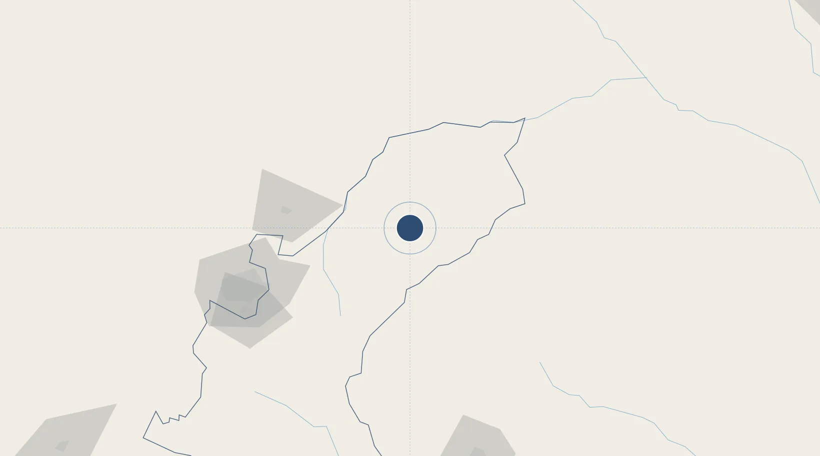
-17.4319°, 32.1845°
3,609 ft
Longest runway
1
Runways
3,950 ft
Elevation
Runway & Layout

Runways · 1
| Runway | Dimensions | Surface | True heading | Lit |
|---|---|---|---|---|
| 09/27 | 3,609 × 59ft | Bitumen | 084° | — |
Airport Specifications
ICAO code
FVMT
Airport class
Medium airport
Scheduled service
No
Runway surface
Bitumen
Served city
Mutoko
Location
Nearby Logistics Neighbours
Airports
- 1Robert Gabriel Mugabe International Airport128 km
- 2Tete Airport214 km
- 3Chimoio Airport232 km
- 4Masvingo International Airport323 km
- 5Josiah Tungamirai Air Force Base331 km
Cities
- 1Mutoko5 km
- 2Marlborough109 km
- 3Rusape123 km
- 4Norton165 km
- 5Mutare180 km
Ports
- 1Beira386 km
- 2Chinde474 km
- 3Quelimane500 km
- 4Porto Belo531 km
- 5Pebane633 km
Trade Zones
DatabookThe Record of Consolidated Knowledge
Zimbabwe beyond logistics?