Export Processing Zone · Malawi

Chigumula Special Economic Zone Under Development
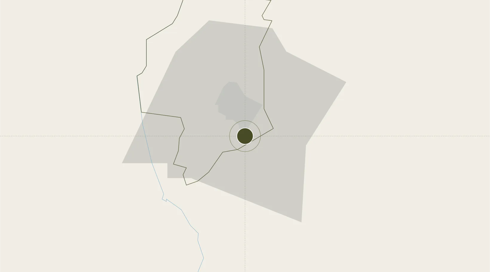
-15.8838°, 35.0610°
37 ha
Zone area
295.0 km
Nearest port
24.9 km
Nearest airport

Gateway access

Nearest neighbours — logibook spatial index (haversine) over the source coordinates

Zone profile

Zone type
Export Processing Zone
Open Zone Map
Region
Blantyre
Open Zone Map
Status
Under Development
Open Zone Map
Management
Public
Open Zone Map
Operator
Malawi Investment and Trade Centre
Open Zone Map
Legal framework
Export Processing Zones Act (No.4 of 1995).
Open Zone Map

Location

Location of ozm-2751
Natural Earth 10m (public domain) · Blantyre · ozm-2751 · -15.88, 35.06GoogleOSMYandex

Nearby Logistics Neighbours

Ports
  1. 1Quelimane295 km
  2. 2Porto Belo303 km
  3. 3Chinde335 km
  4. 4Pebane363 km
  5. 5Beira440 km
Nearest neighbours — logibook spatial index (haversine) over the source coordinates
Airports
  1. 1Chileka International Airport25 km
  2. 2Tete Airport154 km
  3. 3Kamuzu International Airport271 km
  4. 4Lichinga Airport291 km
  5. 5Quelimane Airport292 km
Nearest neighbours — logibook spatial index (haversine) over the source coordinates
Cities
  1. 1Thyolo22 km
  2. 2Zomba63 km
  3. 3Chipoka218 km
  4. 4Mutoko347 km
  5. 5Sinda400 km
Nearest neighbours — logibook spatial index (haversine) over the source coordinates
Trade Zones
  1. 1Matindi Industrial Park11 km
  2. 2Zalewa Agro-processing Special Economic Zone53 km
  3. 3Liwonde Dry Port (Malawi Gateway Project)92 km
  4. 4Revúboè (Revubue) Industrial Free Zone149 km
  5. 5Cape Maclear Tourism Hub Mangochi209 km
Nearest neighbours — logibook spatial index (haversine) over the source coordinates
DatabookThe Record of Consolidated Knowledge
Malawi beyond logistics?
Browse databook

All Sources

Trade ZonesOpen Zone Map
CC BY
Portsthe NGA World Port Index
Public domain (US gov)
AirportsOurAirports
Public domain
LocationsUN/LOCODE
UN/LOCODE — free
← Malawi trade zones