Export Processing Zone · Malawi

Matindi Industrial Park Under Development
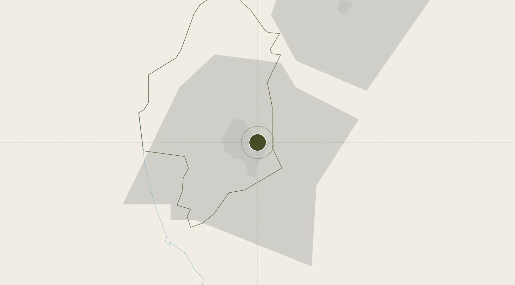
-15.7879°, 35.0764°
402 ha
Zone area
302.1 km
Nearest port
16.6 km
Nearest airport

Gateway access

Nearest neighbours — logibook spatial index (haversine) over the source coordinates

Zone profile

Zone type
Export Processing Zone
Open Zone Map
Region
Blantyre
Open Zone Map
Status
Under Development
Open Zone Map
Management
Public
Open Zone Map
Operator
Malawi Government, Afreximbank
Open Zone Map
Legal framework
Export Processing Zones Act (No.4 of 1995).
Open Zone Map

Location

Location of ozm-2753
Natural Earth 10m (public domain) · Blantyre · ozm-2753 · -15.79, 35.08GoogleOSMYandex

Nearby Logistics Neighbours

Ports
  1. 1Quelimane302 km
  2. 2Porto Belo309 km
  3. 3Chinde344 km
  4. 4Pebane367 km
  5. 5Beira451 km
Nearest neighbours — logibook spatial index (haversine) over the source coordinates
Airports
  1. 1Chileka International Airport17 km
  2. 2Tete Airport158 km
  3. 3Kamuzu International Airport262 km
  4. 4Lichinga Airport280 km
  5. 5Quelimane Airport299 km
Nearest neighbours — logibook spatial index (haversine) over the source coordinates
Cities
  1. 1Thyolo32 km
  2. 2Zomba53 km
  3. 3Chipoka208 km
  4. 4Mutoko354 km
  5. 5Sinda397 km
Nearest neighbours — logibook spatial index (haversine) over the source coordinates
Trade Zones
  1. 1Chigumula Special Economic Zone11 km
  2. 2Zalewa Agro-processing Special Economic Zone45 km
  3. 3Liwonde Dry Port (Malawi Gateway Project)82 km
  4. 4Revúboè (Revubue) Industrial Free Zone152 km
  5. 5Cape Maclear Tourism Hub Mangochi199 km
Nearest neighbours — logibook spatial index (haversine) over the source coordinates
DatabookThe Record of Consolidated Knowledge
Malawi beyond logistics?
Browse databook

All Sources

Trade ZonesOpen Zone Map
CC BY
Portsthe NGA World Port Index
Public domain (US gov)
AirportsOurAirports
Public domain
LocationsUN/LOCODE
UN/LOCODE — free
← Malawi trade zones