Transport Functions
Road
Multimodal
Hub Profile
Place type
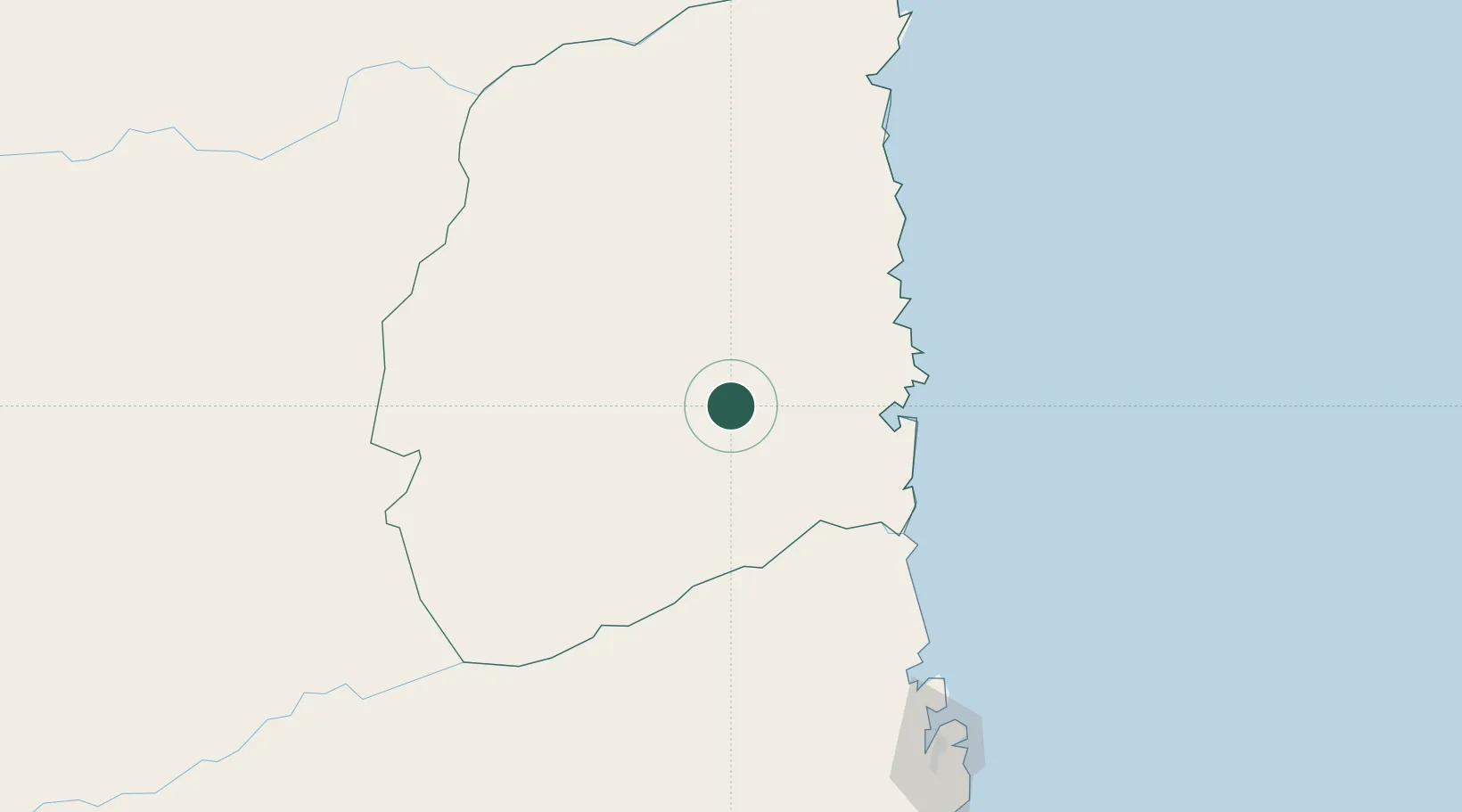
Populated place
Region
Cabo Delgado Province
Time zone
Africa/Maputo
Elevation
341 m
Location
Nearby Logistics Neighbours
Cities
- 1Mocímboa da Praia188 km
- 2Nacala214 km
- 3Meconta232 km
- 4Mtwara298 km
- 5Coropoa404 km
Ports
- 1Pemba87 km
- 2Ibo118 km
- 3Nacala210 km
- 4Mocambique262 km
- 5Mikindani297 km
Airports
- 1Pemba Airport90 km
- 2Mueda Airport137 km
- 3Mocímboa da Praia Airport185 km
- 4Nacala International Airport208 km
- 5Nampula Airport249 km
Trade Zones
DatabookThe Record of Consolidated Knowledge
Mozambique beyond logistics?