Transport Functions
Rail
Road
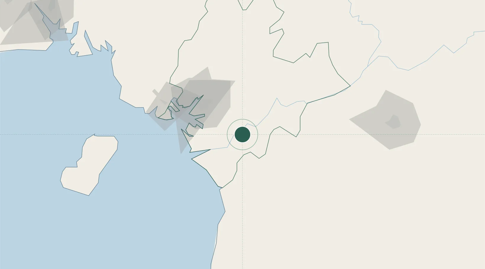
Hub Profile
Place type
Populated place
Region
Littoral
Population
103,861
Time zone
Africa/Douala
Elevation
27 m
Location
Nearby Logistics Neighbours
Cities
- 1Douala57 km
- 2Mayumba89 km
- 3Limbe104 km
- 4Ebomé Terminal113 km
- 5Kribi120 km
Ports
- 1Douala58 km
- 2Kome Kribi 1 Marine Terminal101 km
- 3Limboh Terminal110 km
- 4Ebome Marine Terminal113 km
- 5Malabo148 km
Airports
- 1Douala International Airport52 km
- 2Tiko Airport91 km
- 3Malabo International Airport156 km
- 4Yaoundé Ville Airport156 km
- 5Yaoundé Nsimalen International Airport160 km
Trade Zones
- 1Bassa-Douala Industrial Zone50 km
- 2Bonaberi-Douala Industrial Zone58 km
- 3Port of Kribi Economic Zone95 km
- 4K5 Oil Centre152 km
- 5Nsam-Mvan Industrial Zone155 km
DatabookThe Record of Consolidated Knowledge
Cameroon beyond logistics?