UN/LOCODE hub · Cameroon
CMDLA
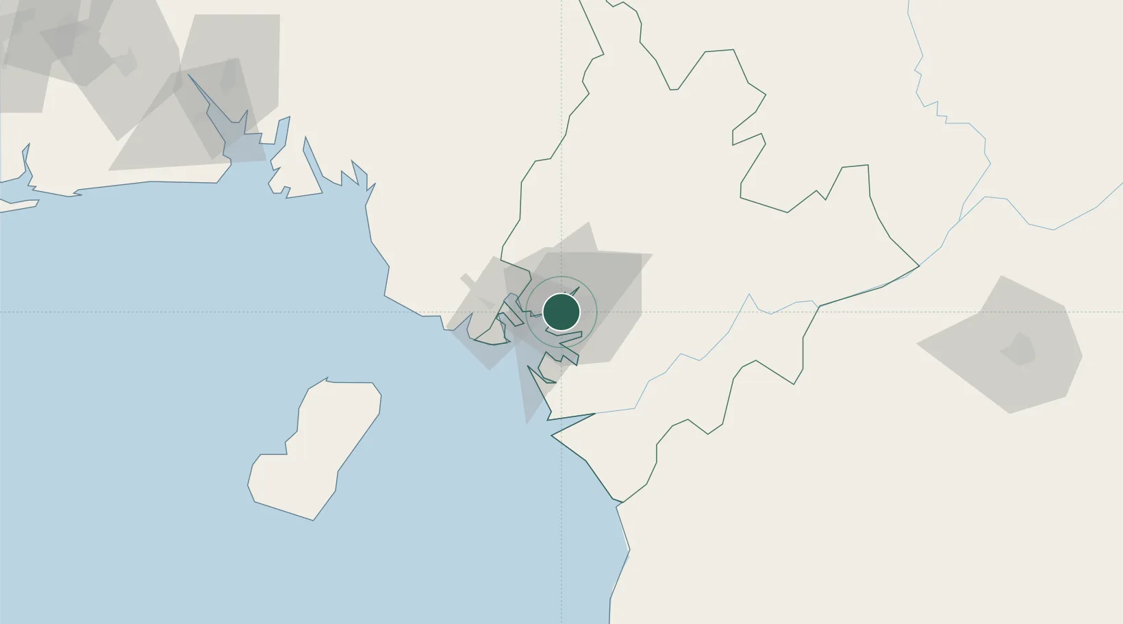
Douala
4.0347°, 9.6827°
1,338,082
Population
3
Transport functions
1
Container terminals
Transport Functions
Port
Airport
Postal
Hub Profile
Place type
Regional capital
Region
Littoral
Population
1,338,082
Time zone
Africa/Douala
Elevation
19 m
Logistics facilities
11
Container terminals
1
Location
Nearby Logistics Neighbours
Cities
- 1Limbe52 km
- 2Edéa57 km
- 3Kumba72 km
- 4Nkongsamba104 km
- 5Malabo105 km
Ports
- 1Limboh Terminal59 km
- 2Malabo105 km
- 3Punta Europa Terminal111 km
- 4Kome Kribi 1 Marine Terminal125 km
- 5Kole Oil Terminal128 km
Airports
- 1Douala International Airport5 km
- 2Tiko Airport36 km
- 3Malabo International Airport112 km
- 4Margaret Ekpo International Airport181 km
- 5Bafoussam Airport183 km
Trade Zones
- 1Bonaberi-Douala Industrial Zone4 km
- 2Bassa-Douala Industrial Zone7 km
- 3K5 Oil Centre109 km
- 4Port of Kribi Economic Zone124 km
- 5Luba Freeport139 km
DatabookThe Record of Consolidated Knowledge
Cameroon beyond logistics?