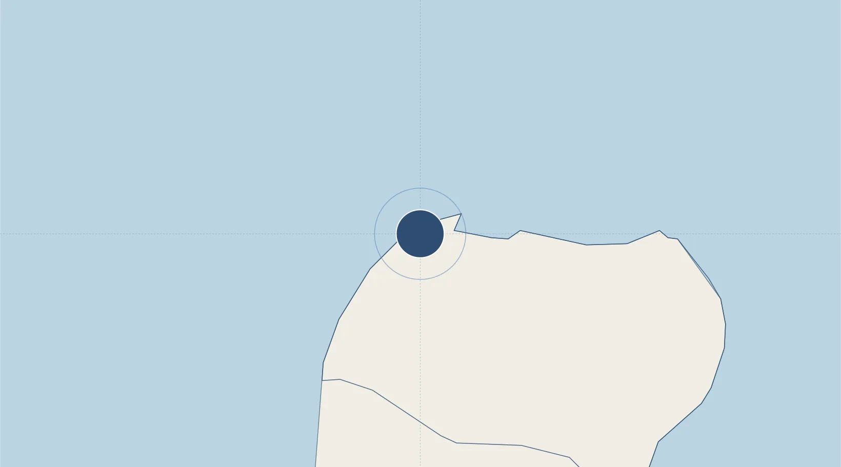
Large airport · Equatorial Guinea

Malabo International AirportFGSL

3.7553°, 8.7087°
9,647 ft
Longest runway
1
Runways
76 ft
Elevation

Runway & Layout

Malabo International Airport runway & taxiway layout
Runway & taxiway layout — OpenStreetMap (ODbL) / OurAirports

Radio Frequencies

TWR
128.3 MHz
A/G
655.9 MHz
A/G VOICE RDO
OurAirports

Navaids

BT NDB Bata 325 kHz
MBO VOR-DME Malabo 114.50 MHz
PA NDB Malabo 342 kHz
OurAirports

Runways · 1

RunwayDimensions SurfaceTrue headingLit
04/22 9,647 × 151ft Concrete 042°
OurAirports

Airport Specifications

IATA code
SSG
OurAirports
ICAO code
FGSL
OurAirports
Airport class
Large airport
OurAirports
Scheduled service
Yes
OurAirports
Runway surface
Concrete
OurAirports
Served city
Malabo
OurAirports

Location

Location of FGSL
Natural Earth 10m (public domain) · Bioko Norte · FGSL · 3.76, 8.71GoogleOSMYandex

Nearby Logistics Neighbours

Airports
  1. 1Tiko Airport81 km
  2. 2Douala International Airport116 km
  3. 3Margaret Ekpo International Airport142 km
  4. 4Akwa Ibom International Airport142 km
  5. 5Port Harcourt City Airport / Port Harcourt Air Force Base223 km
Nearest neighbours — logibook spatial index (haversine) over the source coordinates
Cities
  1. 1Punta Europa Terminal3 km
  2. 2Malabo8 km
  3. 3Moudi Terminal47 km
  4. 4Zafiro Terminal61 km
  5. 5Limbe63 km
Nearest neighbours — logibook spatial index (haversine) over the source coordinates
Ports
  1. 1Punta Europa Terminal3 km
  2. 2Malabo8 km
  3. 3Luba33 km
  4. 4Moudi Marine Terminal47 km
  5. 5Limboh Terminal55 km
Nearest neighbours — logibook spatial index (haversine) over the source coordinates
Trade Zones
  1. 1K5 Oil Centre4 km
  2. 2Luba Freeport36 km
  3. 3Ibom Industrial City Free Zone101 km
  4. 4Bonaberi-Douala Industrial Zone114 km
  5. 5Bassa-Douala Industrial Zone120 km
Nearest neighbours — logibook spatial index (haversine) over the source coordinates
DatabookThe Record of Consolidated Knowledge
Equatorial Guinea beyond logistics?
Browse databook

All Sources

AirportsOurAirports
Public domain
Portsthe NGA World Port Index
Public domain (US gov)
LocationsUN/LOCODE
UN/LOCODE — free
Trade Zonesthe World Bank SEZ database
CC BY 4.0
Trade ZonesOpen Zone Map
CC BY
InfrastructureOpenStreetMap
ODbL 1.0
← Equatorial Guinea airports