Large airport · Cameroon
Douala International AirportFKKD
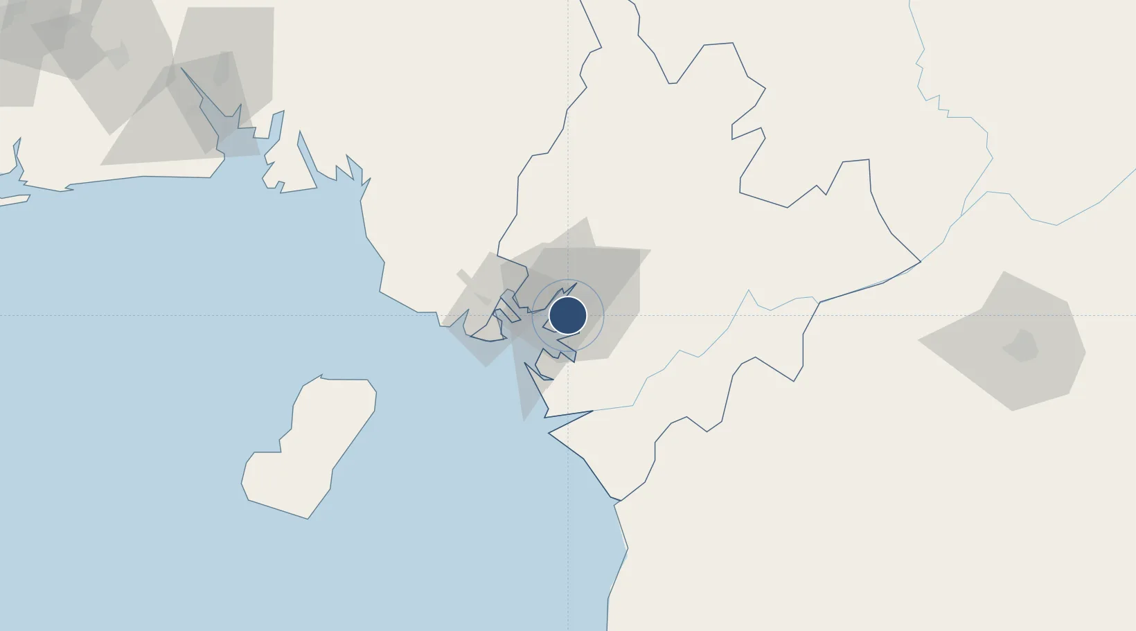
4.0061°, 9.7195°
9,350 ft
Longest runway
1
Runways
33 ft
Elevation
Runway & Layout

Radio Frequencies
TWR
119.7 MHz
A/G
655.9 MHz
A/G VOICE RDO
Navaids
DLA VOR-DME Douala 112.90 MHz
YK NDB Douala 399 kHz
Runways · 1
| Runway | Dimensions | Surface | True heading | Lit |
|---|---|---|---|---|
| 12/30 | 9,350 × 148ft | Asphalt | 117° | ✓ |
Airport Specifications
IATA code
DLA
ICAO code
FKKD
Airport class
Large airport
Scheduled service
Yes
Runway surface
Asphalt
Served city
Douala
Location
Nearby Logistics Neighbours
Airports
- 1Tiko Airport41 km
- 2Malabo International Airport116 km
- 3Bafoussam Airport184 km
- 4Margaret Ekpo International Airport187 km
- 5Yaoundé Ville Airport201 km
Cities
- 1Douala5 km
- 2Edéa52 km
- 3Limbe56 km
- 4Kumba77 km
- 5Nkongsamba106 km
Ports
- 1Douala6 km
- 2Limboh Terminal63 km
- 3Malabo108 km
- 4Punta Europa Terminal114 km
- 5Kome Kribi 1 Marine Terminal122 km
Trade Zones
- 1Bassa-Douala Industrial Zone5 km
- 2Bonaberi-Douala Industrial Zone8 km
- 3K5 Oil Centre112 km
- 4Port of Kribi Economic Zone120 km
- 5Luba Freeport141 km
DatabookThe Record of Consolidated Knowledge
Cameroon beyond logistics?