Specialized Zone · Equatorial Guinea

K5 Oil Centre Active
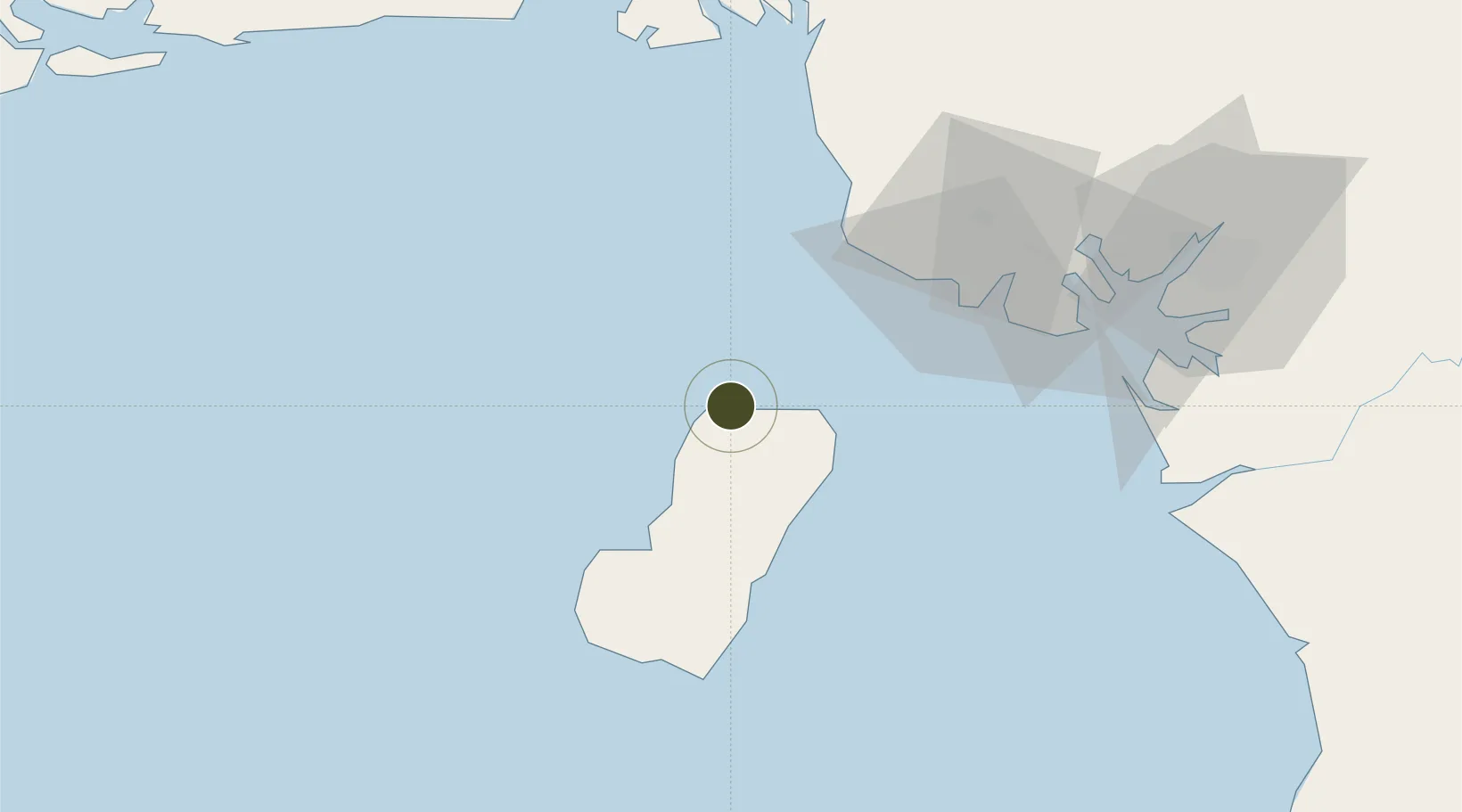
3.7585°, 8.7428°
70 ha
Zone area
4.0 km
Nearest port
3.8 km
Nearest airport

Gateway access

Nearest neighbours — logibook spatial index (haversine) over the source coordinates

Zone profile

Zone type
Specialized Zone
Open Zone Map
Specialization
Energy
Open Zone Map
Region
Bioko Norte
Open Zone Map
Status
Active
Open Zone Map
Management
Private
Open Zone Map
Operator
Universal Africa Lines
Open Zone Map
Legal framework
Presidential Resolution No 06-3597-010
Open Zone Map

Location

Location of ozm-1893
Natural Earth 10m (public domain) · Bioko Norte · ozm-1893 · 3.76, 8.74GoogleOSMYandex

Nearby Logistics Neighbours

Ports
  1. 1Punta Europa Terminal4 km
  2. 2Malabo5 km
  3. 3Luba35 km
  4. 4Moudi Marine Terminal49 km
  5. 5Limboh Terminal52 km
Nearest neighbours — logibook spatial index (haversine) over the source coordinates
Airports
  1. 1Malabo International Airport4 km
  2. 2Tiko Airport78 km
  3. 3Douala International Airport112 km
  4. 4Margaret Ekpo International Airport142 km
  5. 5Akwa Ibom International Airport143 km
Nearest neighbours — logibook spatial index (haversine) over the source coordinates
Cities
  1. 1Malabo4 km
  2. 2Punta Europa Terminal4 km
  3. 3Moudi Terminal49 km
  4. 4Limbe60 km
  5. 5Zafiro Terminal65 km
Nearest neighbours — logibook spatial index (haversine) over the source coordinates
Trade Zones
  1. 1Luba Freeport38 km
  2. 2Ibom Industrial City Free Zone103 km
  3. 3Bonaberi-Douala Industrial Zone110 km
  4. 4Bassa-Douala Industrial Zone116 km
  5. 5Calabar Free Trade Zone148 km
Nearest neighbours — logibook spatial index (haversine) over the source coordinates
DatabookThe Record of Consolidated Knowledge
Equatorial Guinea beyond logistics?
Browse databook

All Sources

Trade ZonesOpen Zone Map
CC BY
Portsthe NGA World Port Index
Public domain (US gov)
AirportsOurAirports
Public domain
LocationsUN/LOCODE
UN/LOCODE — free
← Equatorial Guinea trade zones