Export Processing Zone · Mali
Koulikoro Industrial Zone Active
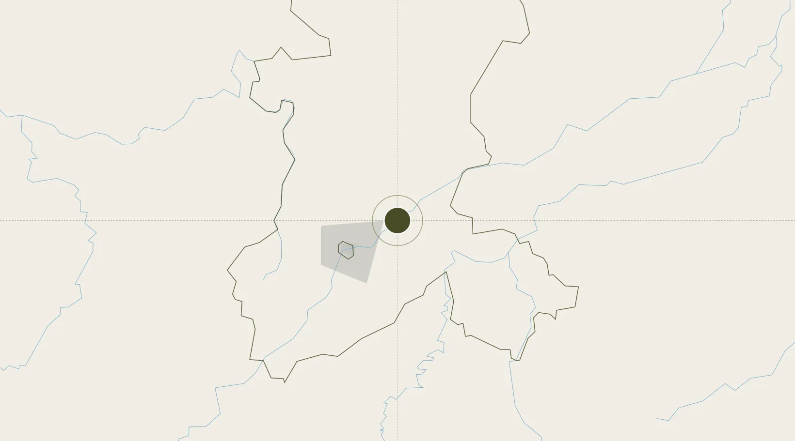
12.8842°, -7.5455°
100 ha
Zone area
742.7 km
Nearest port
58.7 km
Nearest airport
Gateway access
Zone profile
Zone type
Export Processing Zone
Region
Koulikoro
Status
Active
Management
Public
Operator
African Development Fund, Government of Mali, Fragile States Facility, Ministry of Rural and Water Development
Legal framework
Law No. 2012-01-6 of 27 February 20/2
Location
Nearby Logistics Neighbours
Airports
- 1Modibo Keita International Airport59 km
- 2Sikasso (Dignangan) Airport238 km
- 3Bobo Dioulasso Airport399 km
- 4Mopti Airport416 km
- 5Korhogo Airport445 km
Cities
- 1Dialakorobougou17 km
- 2Bérégadougou385 km
- 3Korouma426 km
- 4Guiembé452 km
- 5Kosagi523 km
Trade Zones
- 1Dialakorobougou Industrial Zone44 km
- 2Mandé Industrial Zone50 km
- 3Fana Industrial Zone64 km
- 4Sanankoroba Industrial Zone70 km
- 5Ségou Industrial Zone146 km
DatabookThe Record of Consolidated Knowledge
Mali beyond logistics?