Export Processing Zone · Mali

Sanankoroba Industrial Zone Active
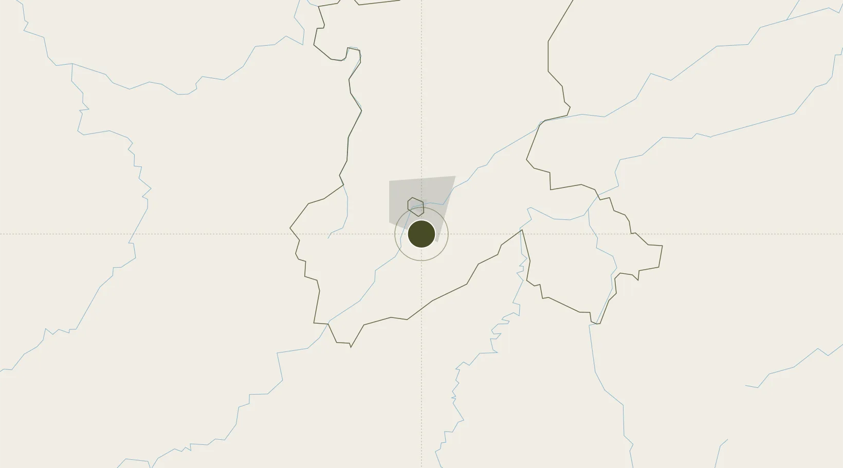
12.3972°, -7.9521°
200 ha
Zone area
676.4 km
Nearest port
15.2 km
Nearest airport

Gateway access

Nearest neighbours — logibook spatial index (haversine) over the source coordinates

Zone profile

Zone type
Export Processing Zone
Open Zone Map
Region
Koulikoro
Open Zone Map
Status
Active
Open Zone Map
Management
Public
Open Zone Map
Operator
Government of Mali
Open Zone Map
Legal framework
Law No. 2012-01-6 of 27 February 20/2
Open Zone Map

Location

Location of ozm-2832
Natural Earth 10m (public domain) · Koulikoro · ozm-2832 · 12.40, -7.95GoogleOSMYandex

Nearby Logistics Neighbours

Ports
  1. 1Benti676 km
  2. 2Pepel700 km
  3. 3Conakry706 km
  4. 4Freetown722 km
  5. 5Bonthe735 km
Nearest neighbours — logibook spatial index (haversine) over the source coordinates
Airports
  1. 1Modibo Keita International Airport15 km
  2. 2Sikasso (Dignangan) Airport251 km
  3. 3Bobo Dioulasso Airport418 km
  4. 4Korhogo Airport425 km
  5. 5Kayes Dag Dag Airport439 km
Nearest neighbours — logibook spatial index (haversine) over the source coordinates
Cities
  1. 1Dialakorobougou73 km
  2. 2Bérégadougou393 km
  3. 3Korouma396 km
  4. 4Guiembé428 km
  5. 5Kosagi465 km
Nearest neighbours — logibook spatial index (haversine) over the source coordinates
Trade Zones
  1. 1Dialakorobougou Industrial Zone26 km
  2. 2Mandé Industrial Zone28 km
  3. 3Koulikoro Industrial Zone70 km
  4. 4Fana Industrial Zone115 km
  5. 5Ségou Industrial Zone211 km
Nearest neighbours — logibook spatial index (haversine) over the source coordinates
DatabookThe Record of Consolidated Knowledge
Mali beyond logistics?
Browse databook

All Sources

Trade ZonesOpen Zone Map
CC BY
Portsthe NGA World Port Index
Public domain (US gov)
AirportsOurAirports
Public domain
LocationsUN/LOCODE
UN/LOCODE — free
← Mali trade zones