Transport Functions
Rail
Road
Hub Profile
Place type
Populated place
Region
Koulikoro
Time zone
Africa/Bamako
Elevation
398 m
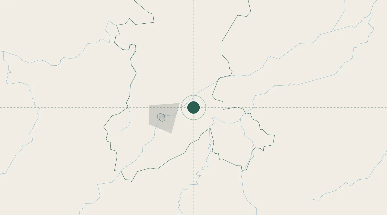
Location
Nearby Logistics Neighbours
Cities
- 1Bérégadougou368 km
- 2Guiembé438 km
- 3Korouma442 km
- 4Kosagi515 km
- 5Koudougou552 km
Airports
- 1Modibo Keita International Airport65 km
- 2Sikasso (Dignangan) Airport221 km
- 3Bobo Dioulasso Airport382 km
- 4Mopti Airport408 km
- 5Korhogo Airport430 km
Trade Zones
DatabookThe Record of Consolidated Knowledge
Mali beyond logistics?