Transport Functions
Rail
Road
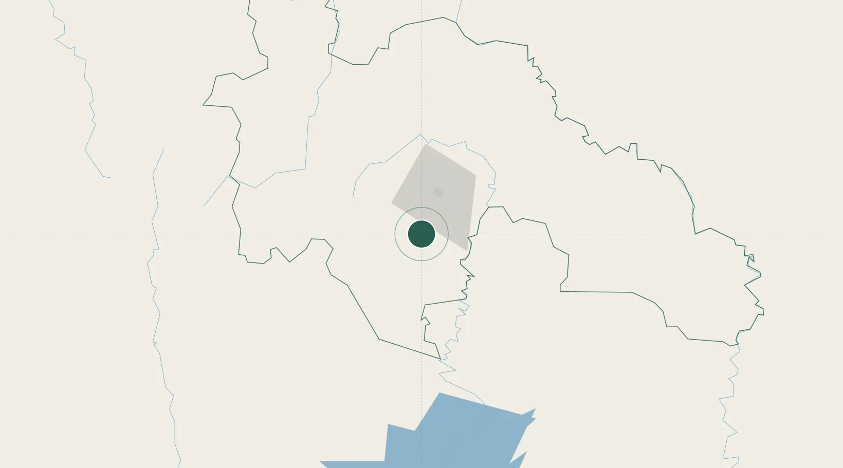
Hub Profile
Place type
Populated place
Region
Savanes District
Population
6,751
Time zone
Africa/Abidjan
Elevation
347 m
Location
Nearby Logistics Neighbours
Cities
- 1Bérégadougou201 km
- 2Kosagi285 km
- 3Ijebu Ode333 km
- 4Agboville403 km
- 5Gbabam419 km
Ports
- 1Abidjan481 km
- 2Port Bouet485 km
- 3Espoir Marine Terminal486 km
- 4Baobab Marine Terminal492 km
- 5San Pedro510 km
Airports
- 1Korhogo Airport25 km
- 2Bouaké Airport181 km
- 3Yamoussoukro International Airport262 km
- 4Bobo Dioulasso Airport263 km
- 5Sikasso (Dignangan) Airport263 km
Trade Zones
- 1Bouaké Economic Zone189 km
- 2Sikasso Industrial Zone232 km
- 3Yamoussoukro Industrial Park279 km
- 4Koutiala Industrial Zone349 km
- 5Ouélessebougou Industrial Zone349 km
DatabookThe Record of Consolidated Knowledge
Côte d’Ivoire beyond logistics?