Export Processing Zone · Mali

Dialakorobougou Industrial Zone Active
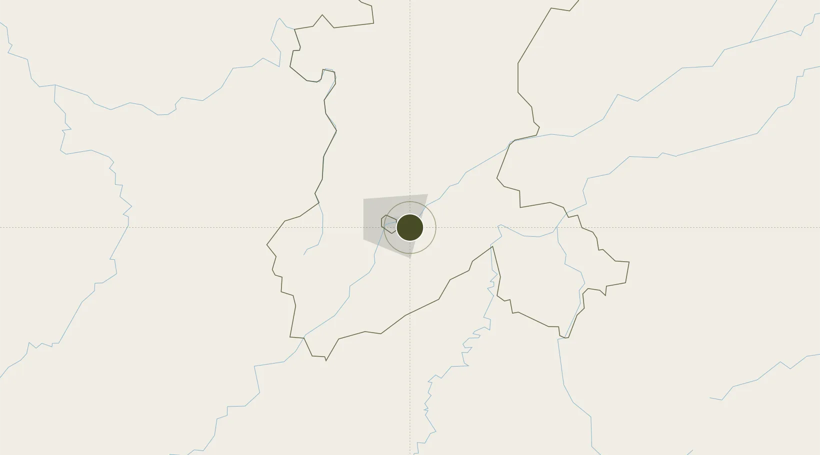
12.5941°, -7.8223°
200 ha
Zone area
700.0 km
Nearest port
15.4 km
Nearest airport

Gateway access

Nearest neighbours — logibook spatial index (haversine) over the source coordinates

Zone profile

Zone type
Export Processing Zone
Open Zone Map
Region
Koulikoro
Open Zone Map
Status
Active
Open Zone Map
Management
Public
Open Zone Map
Operator
Government of Mali
Open Zone Map
Legal framework
Law No. 2012-01-6 of 27 February 20/2
Open Zone Map

Location

Location of ozm-2830
Natural Earth 10m (public domain) · Koulikoro · ozm-2830 · 12.59, -7.82GoogleOSMYandex

Nearby Logistics Neighbours

Ports
  1. 1Benti700 km
  2. 2Pepel725 km
  3. 3Conakry729 km
  4. 4Freetown746 km
  5. 5Bonthe761 km
Nearest neighbours — logibook spatial index (haversine) over the source coordinates
Airports
  1. 1Modibo Keita International Airport15 km
  2. 2Sikasso (Dignangan) Airport246 km
  3. 3Bobo Dioulasso Airport412 km
  4. 4Korhogo Airport434 km
  5. 5Kayes Dag Dag Airport440 km
Nearest neighbours — logibook spatial index (haversine) over the source coordinates
Cities
  1. 1Dialakorobougou50 km
  2. 2Bérégadougou391 km
  3. 3Korouma404 km
  4. 4Guiembé439 km
  5. 5Kosagi488 km
Nearest neighbours — logibook spatial index (haversine) over the source coordinates
Trade Zones
  1. 1Mandé Industrial Zone14 km
  2. 2Sanankoroba Industrial Zone26 km
  3. 3Koulikoro Industrial Zone44 km
  4. 4Fana Industrial Zone95 km
  5. 5Ségou Industrial Zone187 km
Nearest neighbours — logibook spatial index (haversine) over the source coordinates
DatabookThe Record of Consolidated Knowledge
Mali beyond logistics?
Browse databook

All Sources

Trade ZonesOpen Zone Map
CC BY
Portsthe NGA World Port Index
Public domain (US gov)
AirportsOurAirports
Public domain
LocationsUN/LOCODE
UN/LOCODE — free
← Mali trade zones