Medium airport · Mali
Mopti AirportGAMB
14.5128°, -4.0796°
8,340 ft
Longest runway
1
Runways
906 ft
Elevation
Runway & Layout

Radio Frequencies
TWR
118.2 MHz
Navaids
MTI VOR Mopti/Ambodedjo 115.50 MHz
Runways · 1
| Runway | Dimensions | Surface | True heading | Lit |
|---|---|---|---|---|
| 05/23 | 8,340 × 94ft | Asphalt | 047° | ✓ |
Airport Specifications
IATA code
MZI
ICAO code
GAMB
Airport class
Medium airport
Scheduled service
Yes
Runway surface
Asphalt
Served city
Sévaré
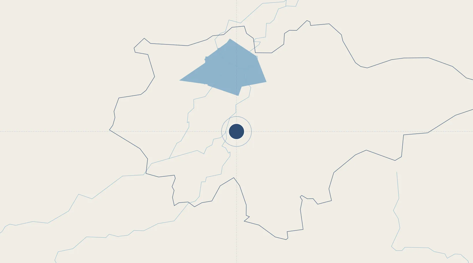
Location
Nearby Logistics Neighbours
Airports
Cities
- 1Koudougou314 km
- 2Ziniaré369 km
- 3Dialakorobougou408 km
- 4Bérégadougou423 km
- 5Bolgatanga543 km
Ports
- 1Abidjan1030 km
- 2Port Bouet1032 km
- 3Espoir Marine Terminal1053 km
- 4Baobab Marine Terminal1063 km
- 5Tema1084 km
Trade Zones
- 1Mopti Industrial Zone12 km
- 2Ségou Industrial Zone270 km
- 3Timbuktu Industrial Zone272 km
- 4Koutiala Industrial Zone282 km
- 5Ouélessebougou Industrial Zone282 km
DatabookThe Record of Consolidated Knowledge
Mali beyond logistics?