Large airport · Burkina Faso
Bobo Dioulasso AirportDFOO
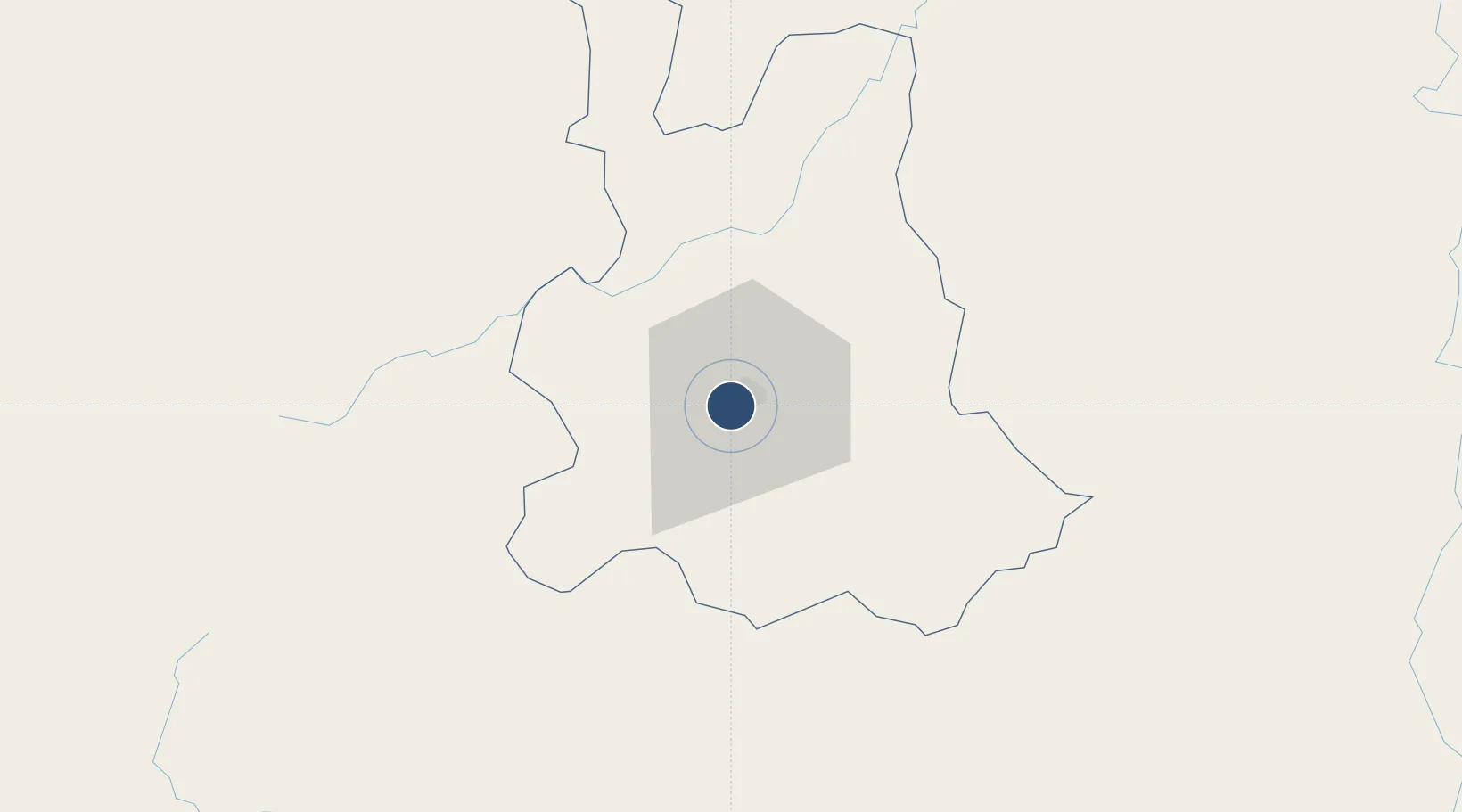
11.1601°, -4.3310°
10,826 ft
Longest runway
1
Runways
1,511 ft
Elevation
Runway & Layout

Radio Frequencies
TWR
119.7 MHz
A/G
667.3 MHz
AG VOICE RDO
Navaids
BD VOR-DME Bobo Dioulasso 114.70 MHz
BDO NDB Bobo Dioulasso 323 kHz
Runways · 1
| Runway | Dimensions | Surface | True heading | Lit |
|---|---|---|---|---|
| 06/24 | 10,826 × 148ft | Asphalt | 053° | ✓ |
Airport Specifications
IATA code
BOY
ICAO code
DFOO
Airport class
Large airport
Scheduled service
Yes
Runway surface
Asphalt
Served city
Bobo Dioulasso
Location
Nearby Logistics Neighbours
Airports
- 1Sikasso (Dignangan) Airport167 km
- 2Korhogo Airport238 km
- 3Ouagadougou Thomas Sankara International Airport334 km
- 4Mopti Airport374 km
- 5Bouaké Airport389 km
Cities
- 1Bérégadougou63 km
- 2Koudougou245 km
- 3Guiembé263 km
- 4Ziniaré366 km
- 5Dialakorobougou382 km
Ports
- 1Abidjan658 km
- 2Port Bouet660 km
- 3Espoir Marine Terminal680 km
- 4Baobab Marine Terminal689 km
- 5Sekondi749 km
Trade Zones
- 1Sikasso Industrial Zone149 km
- 2Koutiala Industrial Zone182 km
- 3Ouélessebougou Industrial Zone182 km
- 4Ségou Industrial Zone330 km
- 5Goughin Industrial Zone332 km
DatabookThe Record of Consolidated Knowledge
Burkina Faso beyond logistics?