Transport Functions
Rail
Road
Hub Profile
Place type
Populated place
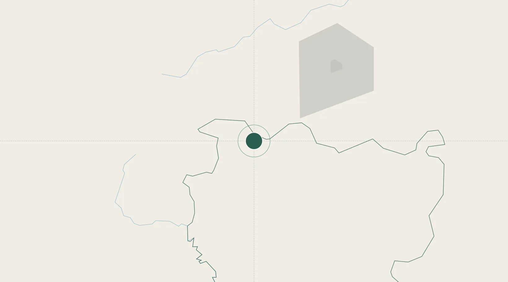
Region
Cascades Region
Time zone
Africa/Ouagadougou
Elevation
360 m
Location
Nearby Logistics Neighbours
Cities
- 1Guiembé201 km
- 2Koudougou307 km
- 3Dialakorobougou368 km
- 4Bolgatanga426 km
- 5Ziniaré427 km
Ports
- 1Abidjan619 km
- 2Port Bouet621 km
- 3Espoir Marine Terminal637 km
- 4Baobab Marine Terminal645 km
- 5San Pedro701 km
Airports
- 1Bobo Dioulasso Airport63 km
- 2Sikasso (Dignangan) Airport147 km
- 3Korhogo Airport177 km
- 4Bouaké Airport339 km
- 5Ouagadougou Thomas Sankara International Airport394 km
Trade Zones
- 1Sikasso Industrial Zone119 km
- 2Koutiala Industrial Zone194 km
- 3Ouélessebougou Industrial Zone194 km
- 4Fana Industrial Zone329 km
- 5Ségou Industrial Zone340 km
DatabookThe Record of Consolidated Knowledge
Burkina Faso beyond logistics?