Medium airport · Côte d’Ivoire
Korhogo AirportDIKO
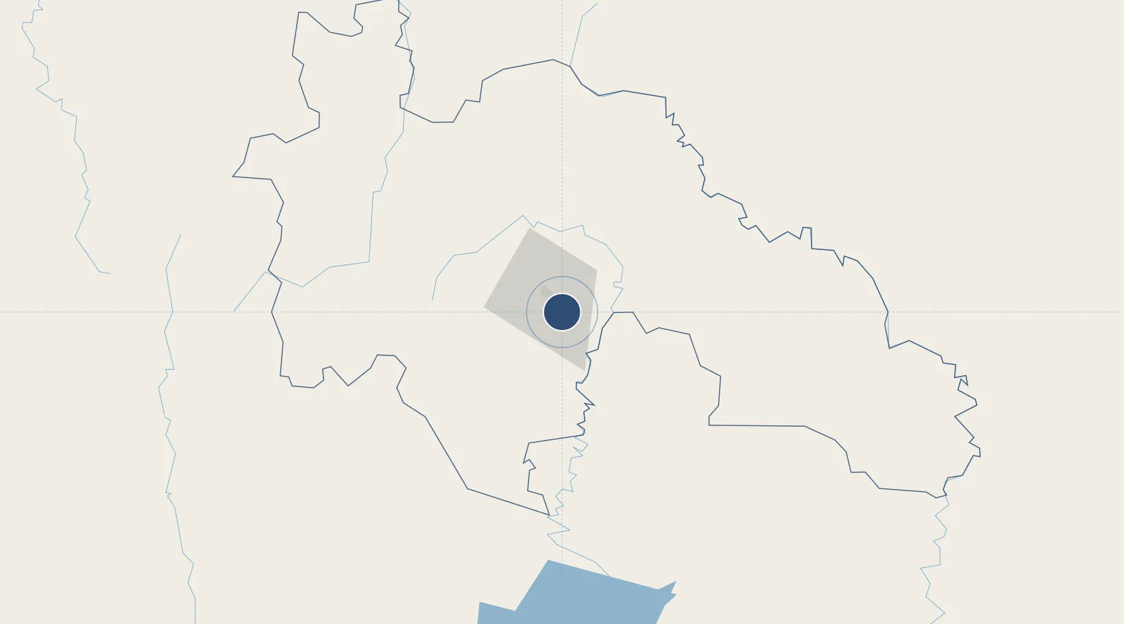
9.3872°, -5.5567°
6,890 ft
Longest runway
1
Runways
1,214 ft
Elevation
Runway & Layout

Radio Frequencies
A/G
667.3 MHz
AFIS
118.6 MHz
Navaids
KH NDB Korhogo 400 kHz
KRG VOR Korhogo 115.20 MHz
Runways · 1
| Runway | Dimensions | Surface | True heading | Lit |
|---|---|---|---|---|
| 09/27 | 6,890 × 98ft | Concrete | 080° | ✓ |
Airport Specifications
IATA code
HGO
ICAO code
DIKO
Airport class
Medium airport
Scheduled service
Yes
Runway surface
Concrete
Served city
Korhogo
Location
Nearby Logistics Neighbours
Airports
- 1Bouaké Airport191 km
- 2Bobo Dioulasso Airport238 km
- 3Sikasso (Dignangan) Airport247 km
- 4Yamoussoukro International Airport277 km
- 5Daloa Airport306 km
Cities
- 1Guiembé25 km
- 2Bérégadougou177 km
- 3Kosagi308 km
- 4Ijebu Ode337 km
- 5Agboville412 km
Ports
- 1Abidjan490 km
- 2Port Bouet494 km
- 3Espoir Marine Terminal498 km
- 4Baobab Marine Terminal504 km
- 5San Pedro530 km
Trade Zones
- 1Bouaké Economic Zone199 km
- 2Sikasso Industrial Zone216 km
- 3Yamoussoukro Industrial Park294 km
- 4Koutiala Industrial Zone331 km
- 5Ouélessebougou Industrial Zone331 km
DatabookThe Record of Consolidated Knowledge
Côte d’Ivoire beyond logistics?