UN/LOCODE hub · Malaysia
MYDGN

Kuala Dungun

4.7833°, 103.4333°
2
Transport functions

Transport Functions

Port
Road
UN/LOCODE

Hub Profile

Region
11
GeoNames

Location

Location of MYDGN
Natural Earth 10m (public domain) · 11 · MYDGN · 4.78, 103.43GoogleOSMYandex

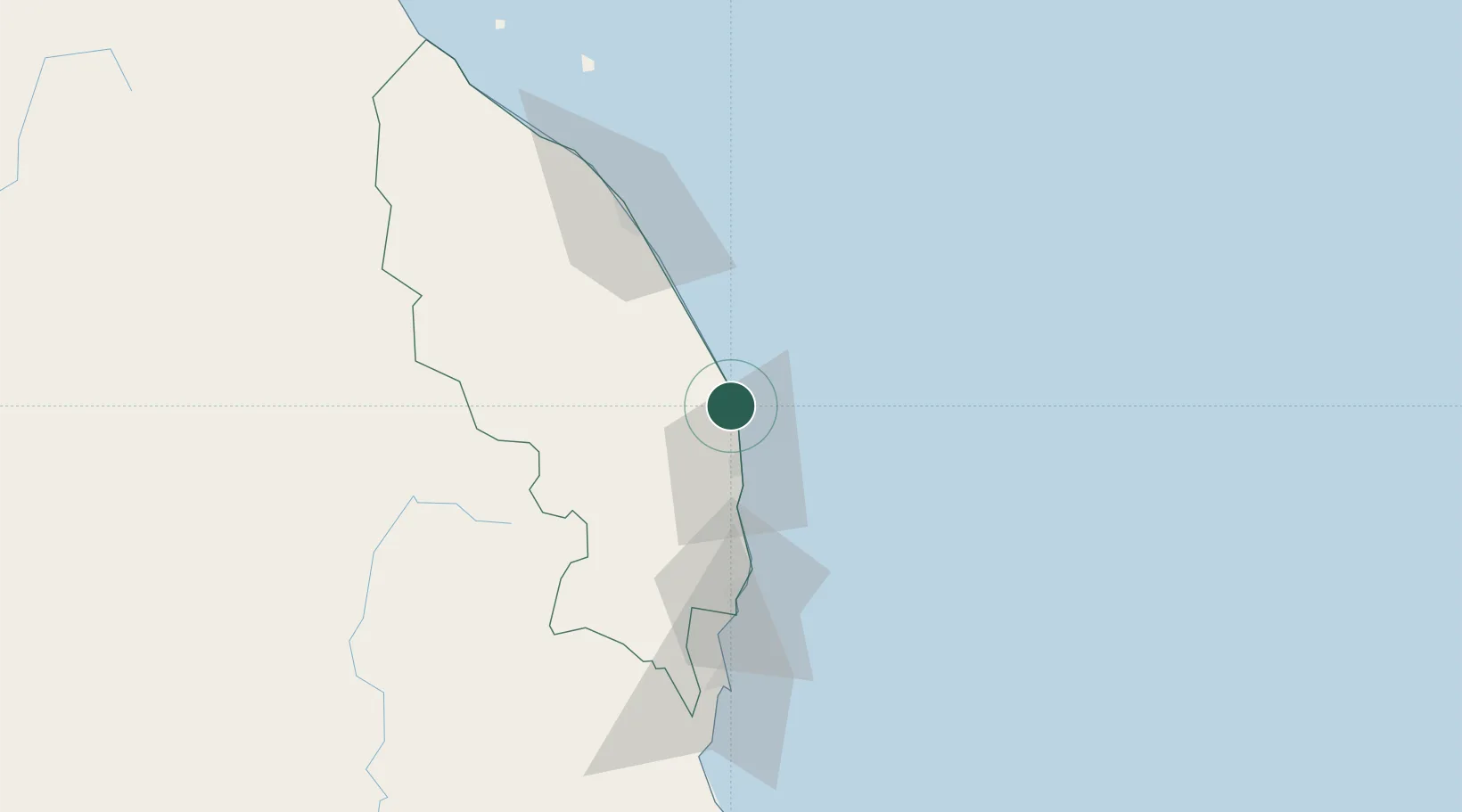
Nearby Logistics Neighbours

Cities
  1. 1Kertih30 km
  2. 2Kerteh30 km
  3. 3Cukai59 km
  4. 4Tanjung Gelang89 km
  5. 5Gebeng91 km
Nearest neighbours — logibook spatial index (haversine) over the source coordinates
Ports
  1. 1Kemaman Harbor59 km
  2. 2Kuala Trengganu71 km
  3. 3Kuantan New Port91 km
  4. 4Tapis Marine Terminal A193 km
  5. 5Belida Marine Terminal202 km
Nearest neighbours — logibook spatial index (haversine) over the source coordinates
Airports
  1. 1Kerteh Airport27 km
  2. 2Sultan Mahmud Airport76 km
  3. 3Kuantan Airport115 km
  4. 4Sultan Ismail Petra Airport199 km
  5. 5Tioman Airport233 km
Nearest neighbours — logibook spatial index (haversine) over the source coordinates
Trade Zones
  1. 1Kenyir Lake Free Zone, Terengganu81 km
  2. 2Kuantan Port Free Zone, Pahang90 km
  3. 3East Coast Economic Region199 km
  4. 4Rantau Panjang Free Commercial Zone212 km
  5. 5Duty Free Area At Pengkalan Kubor219 km
Nearest neighbours — logibook spatial index (haversine) over the source coordinates
DatabookThe Record of Consolidated Knowledge
Malaysia beyond logistics?
Browse databook

All Sources

LocationsUN/LOCODE
UN/LOCODE — free
Portsthe NGA World Port Index
Public domain (US gov)
AirportsOurAirports
Public domain
Trade Zonesthe World Bank SEZ database
CC BY 4.0
Trade ZonesOpen Zone Map
CC BY
← Malaysia locations