Diversified Zone · Thailand
Songkhla Special Economic Zone Under Development
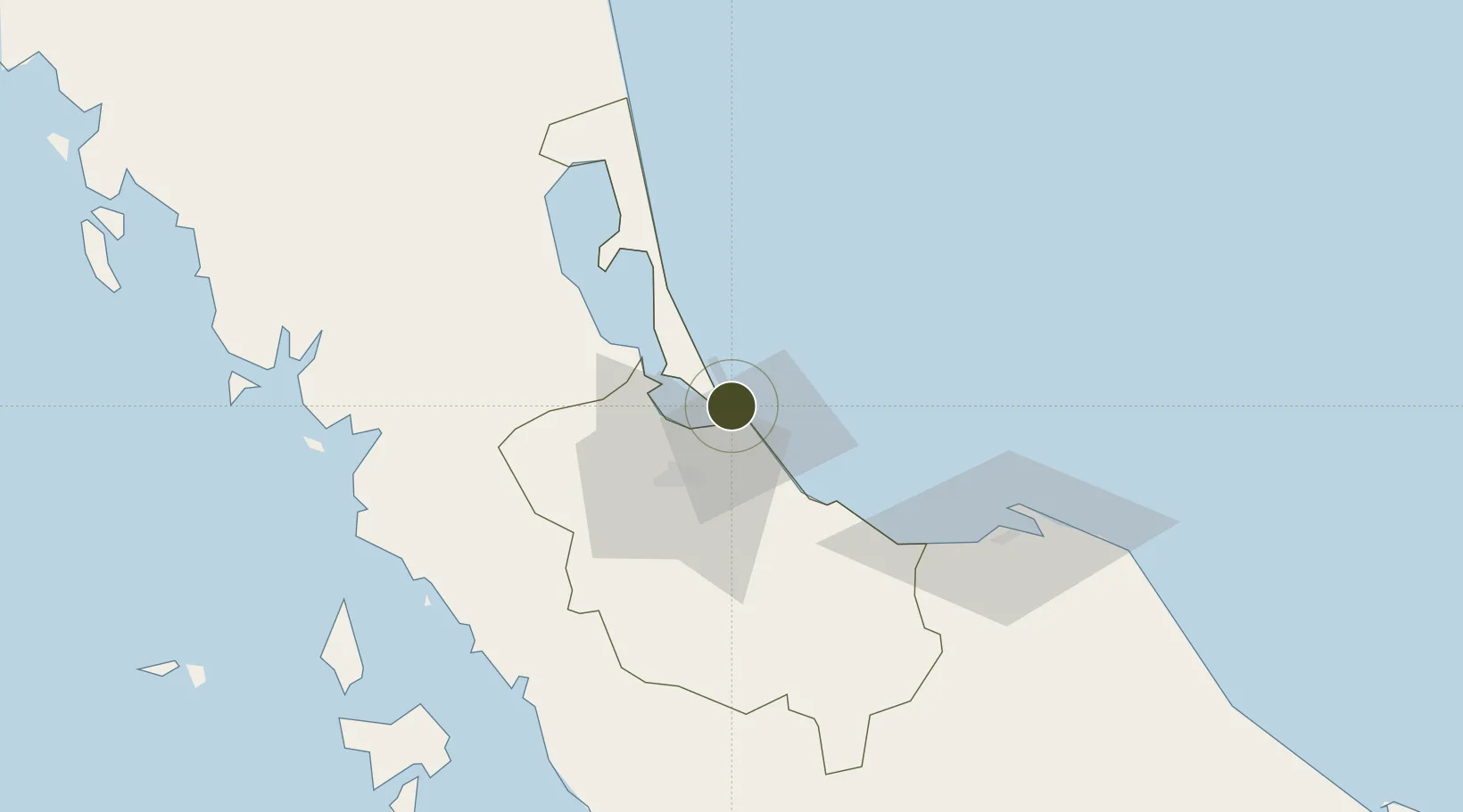
7.1918°, 100.5959°
55,230 ha
Zone area
3.1 km
Nearest port
1.5 km
Nearest airport
Gateway access
Zone profile
Zone type
Diversified Zone
Region
Songkhla
Status
Under Development
Management
Public
Operator
Industrial Estate Authority of Thailand (I-EA-T)
Legal framework
Industrial Estate Authority of Thailand Act, B.E. 2522 (1979); Board of Investment Announcement No. Sor 1/2550 Bonded Warehouse Activity for Free Trade Zone and Free Zone Announcement of the Board of Investment No. 4/2557 Investment Promotion in Special E
Location
Nearby Logistics Neighbours
Ports
- 1Songkhla Harbor3 km
- 2Pattani82 km
- 3Kantang Harbor121 km
- 4Port Langkawi125 km
- 5Pulau Pinang199 km
Airports
- 1Songkhla Airport2 km
- 2Hat Yai International Airport36 km
- 3Pattani Airport76 km
- 4Sultan Abdul Halim Airport114 km
- 5Trang Airport114 km
Cities
- 1Songkhla5 km
- 2Padang Besar, Thailand68 km
- 3Sadao Customs House74 km
- 4Pattani82 km
- 5Ban Prakop Customs House82 km
DatabookThe Record of Consolidated Knowledge
Thailand beyond logistics?