UN/LOCODE hub · Thailand
THSNT

Satun

6.6167°, 100.0667°
34,544
Population
2
Transport functions

Transport Functions

Port
Road
UN/LOCODE

Hub Profile

Place type
Regional capital
GeoNames
Region
Satun
GeoNames
Population
34,544
GeoNames
Time zone
Asia/Bangkok
GeoNames
Elevation
15 m
GeoNames

Location

Location of THSNT
Natural Earth 10m (public domain) · Satun · THSNT · 6.62, 100.07GoogleOSMYandex

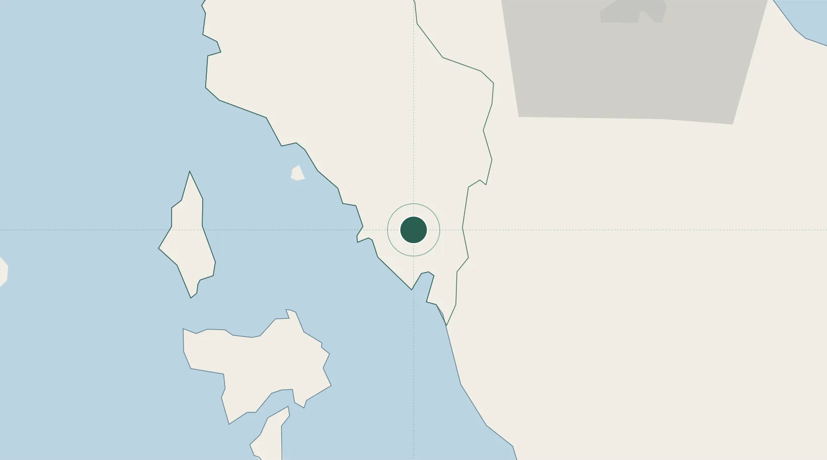
Nearby Logistics Neighbours

Cities
  1. 1Bukit Keteri22 km
  2. 2Padang Besar, Thailand28 km
  3. 3Sadao Customs House39 km
  4. 4Langkawi41 km
  5. 5Pakbara48 km
Nearest neighbours — logibook spatial index (haversine) over the source coordinates
Ports
  1. 1Port Langkawi39 km
  2. 2Songkhla Harbor88 km
  3. 3Kantang Harbor106 km
  4. 4Pulau Pinang137 km
  5. 5Pattani141 km
Nearest neighbours — logibook spatial index (haversine) over the source coordinates
Airports
  1. 1Langkawi International Airport49 km
  2. 2Hat Yai International Airport50 km
  3. 3Sultan Abdul Halim Airport60 km
  4. 4Songkhla Airport87 km
  5. 5Trang Airport111 km
Nearest neighbours — logibook spatial index (haversine) over the source coordinates
DatabookThe Record of Consolidated Knowledge
Thailand beyond logistics?
Browse databook

All Sources

LocationsUN/LOCODE
UN/LOCODE — free
LocationsGeoNames
CC BY 4.0
Portsthe NGA World Port Index
Public domain (US gov)
AirportsOurAirports
Public domain
Trade Zonesthe World Bank SEZ database
CC BY 4.0
Trade ZonesOpen Zone Map
CC BY
← Thailand locations