Specialized Zone · Malaysia

Multimedia Super-Corridor Active
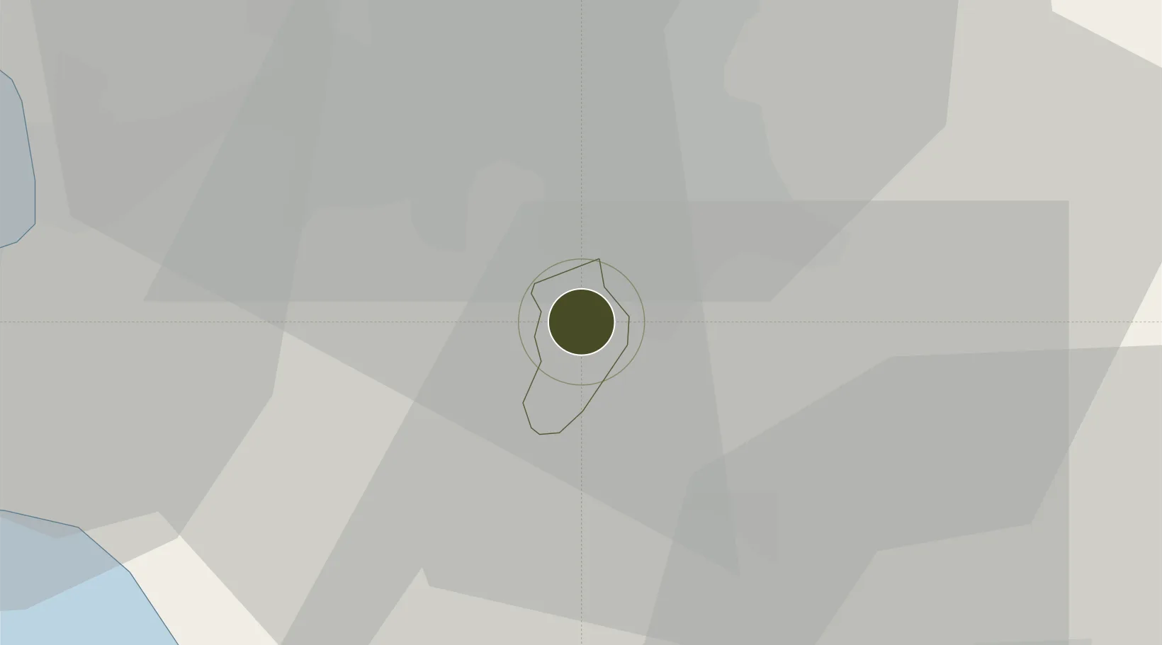
2.9428°, 101.7023°
75,000 ha
Zone area
34.2 km
Nearest port
21.9 km
Nearest airport

Gateway access

Nearest neighbours — logibook spatial index (haversine) over the source coordinates

Zone profile

Zone type
Specialized Zone
Open Zone Map
Specialization
Tech
Open Zone Map
Region
Putrajaya
Open Zone Map
Status
Active
Open Zone Map
Management
Public-Private Partnership
Open Zone Map
Operator
Malaysia Digital Economy Corporation
Open Zone Map
Legal framework
Prime Ministerial Decree 12th Feb. 1996, The Seventh Malaysia Five-year Plan 1996
Open Zone Map

Location

Location of ozm-2821
Natural Earth 10m (public domain) · Putrajaya · ozm-2821 · 2.94, 101.70GoogleOSMYandex

Nearby Logistics Neighbours

Ports
  1. 1Port Klang34 km
  2. 2Port Dickson46 km
  3. 3Pelabuhan Sungai Udang91 km
  4. 4Melaka103 km
  5. 5Muar138 km
Nearest neighbours — logibook spatial index (haversine) over the source coordinates
Airports
  1. 1Kuala Lumpur International Airport22 km
  2. 2Sultan Abdul Aziz Shah International Airport27 km
  3. 3Malacca International Airport97 km
  4. 4Pinang Kampai Airport151 km
  5. 5Kuantan Airport191 km
Nearest neighbours — logibook spatial index (haversine) over the source coordinates
Cities
  1. 1Cyberjaya7 km
  2. 2Pandamaran8 km
  3. 3Seri Kembangan8 km
  4. 4Semenyih16 km
  5. 5Nilai18 km
Nearest neighbours — logibook spatial index (haversine) over the source coordinates
DatabookThe Record of Consolidated Knowledge
Malaysia beyond logistics?
Browse databook

All Sources

Trade ZonesOpen Zone Map
CC BY
Portsthe NGA World Port Index
Public domain (US gov)
AirportsOurAirports
Public domain
LocationsUN/LOCODE
UN/LOCODE — free
← Malaysia trade zones