Transport Functions
Rail
Road
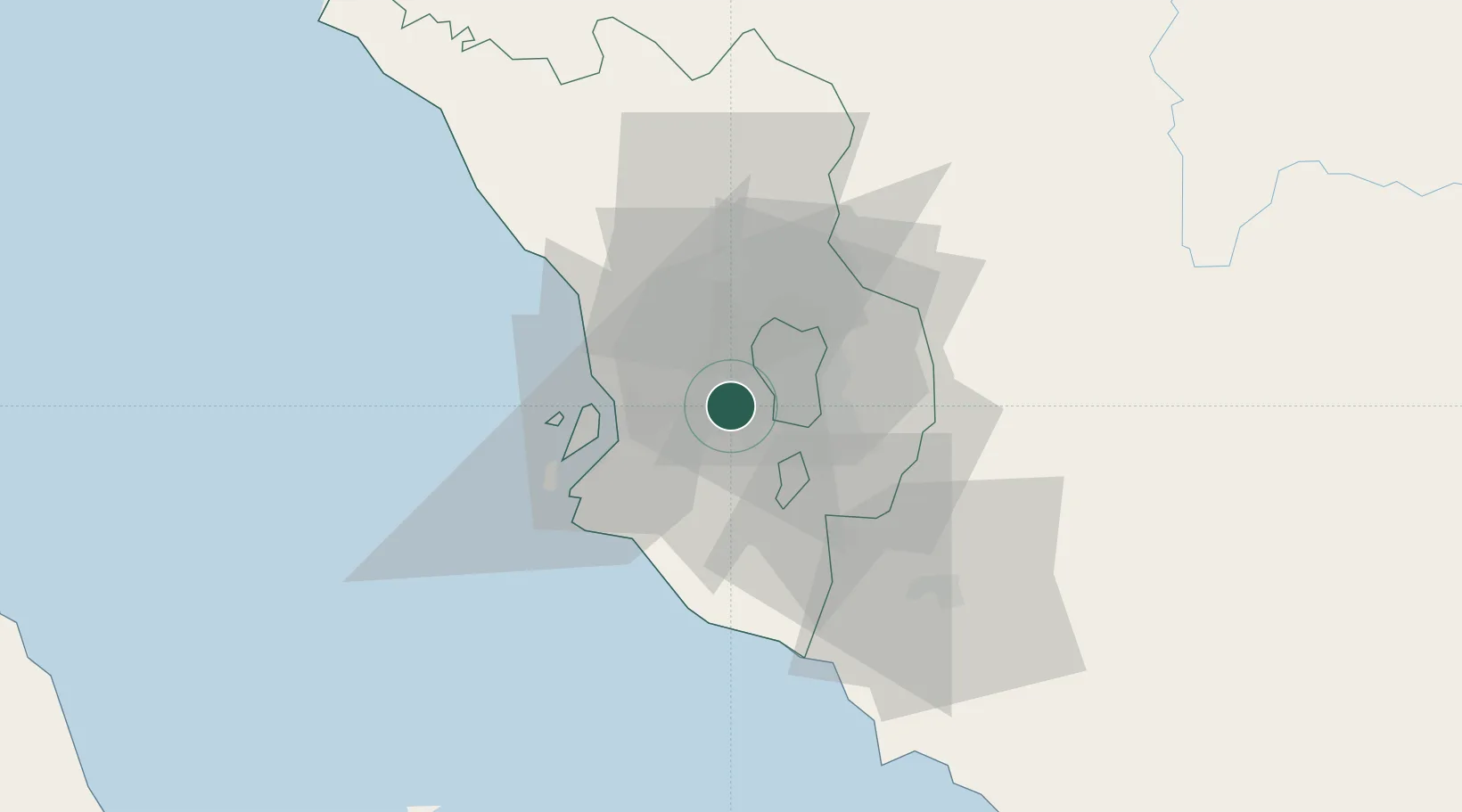
Hub Profile
Place type
Urban district
Region
Selangor
Population
708,296
Time zone
Asia/Kuala_Lumpur
Elevation
41 m
Location
Nearby Logistics Neighbours
Cities
- 1Sungai Way4 km
- 2Damansara9 km
- 3Pandamaran14 km
- 4Seri Kembangan14 km
- 5Sungai Buluh15 km
Ports
- 1Port Klang22 km
- 2Port Dickson63 km
- 3Pelabuhan Sungai Udang109 km
- 4Melaka122 km
- 5Teluk Anson123 km
Airports
Trade Zones
DatabookThe Record of Consolidated Knowledge
Malaysia beyond logistics?