Transport Functions
Rail
Road
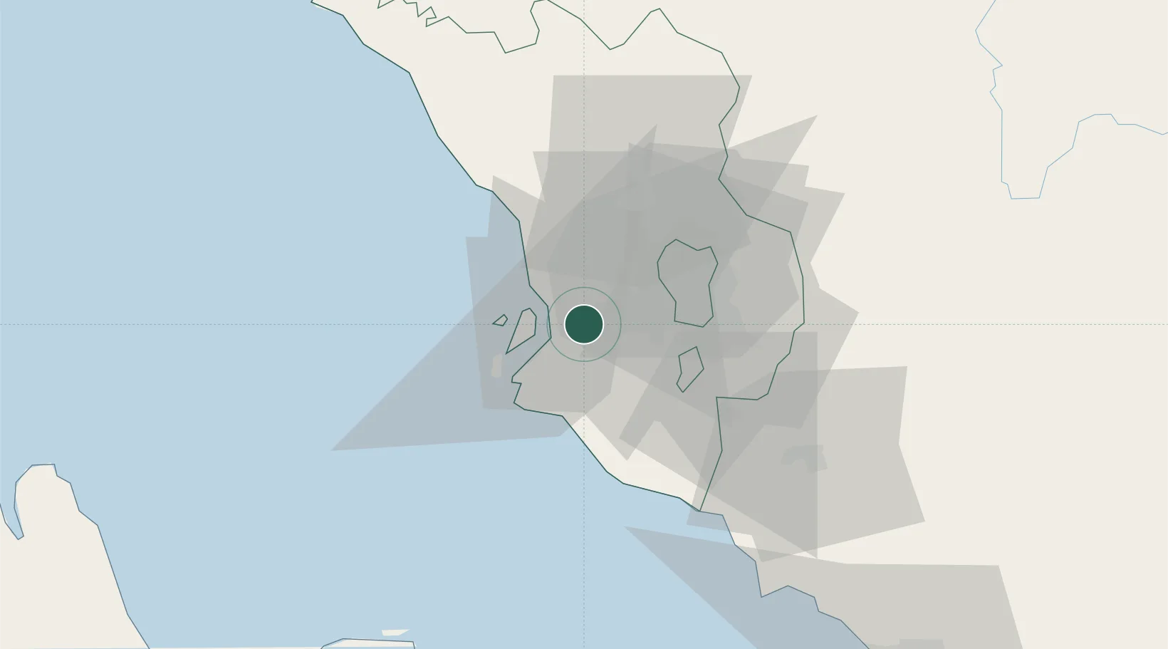
Hub Profile
Place type
Populated place
Region
Selangor
Population
240,016
Time zone
Asia/Kuala_Lumpur
Elevation
5 m
Location
Nearby Logistics Neighbours
Cities
- 1Bukit Raja8 km
- 2Port Klang (Pelabuhan Klang)8 km
- 3Port Klang (Ferry Port)9 km
- 4Pulau Indah14 km
- 5Carey Island Estate14 km
Ports
- 1Port Klang7 km
- 2Port Dickson67 km
- 3Pelabuhan Sungai Udang116 km
- 4Teluk Anson120 km
- 5Melaka128 km
Airports
Trade Zones
DatabookThe Record of Consolidated Knowledge
Malaysia beyond logistics?