UN/LOCODE hub · Malaysia
MYPKG

Port Klang (Pelabuhan Klang)

3.0002°, 101.3827°
4
Transport functions
2
Container terminals

Transport Functions

Port
Rail
Road
Postal
Port Klang (Pelabuhan Klang) is also a profiled seaport →
UN/LOCODE

Hub Profile

Region
10
GeoNames
Logistics facilities
63
UN/LOCODE
Container terminals
2
UN/LOCODE

Location

Location of MYPKG
Natural Earth 10m (public domain) · 10 · MYPKG · 3.00, 101.38GoogleOSMYandex

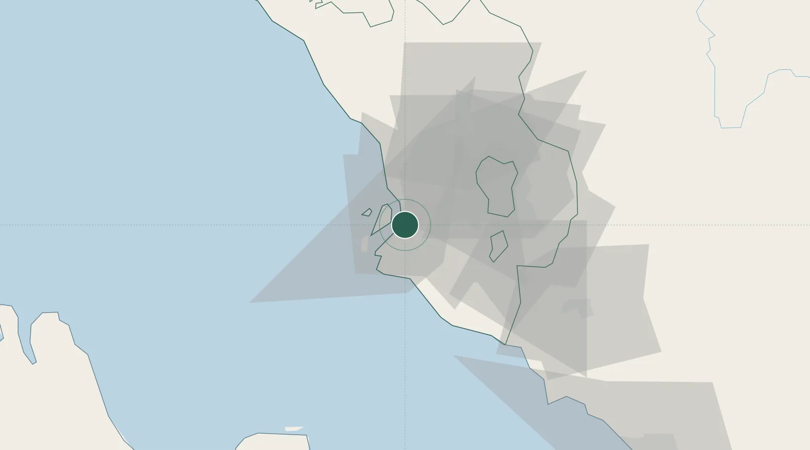
Nearby Logistics Neighbours

Cities
  1. 1Port Klang (Ferry Port)3 km
  2. 2Pulau Indah6 km
  3. 3Northport/Pt Klang6 km
  4. 4Klang8 km
  5. 5Carey Island Estate10 km
Nearest neighbours — logibook spatial index (haversine) over the source coordinates
Ports
  1. 1Port Dickson68 km
  2. 2Pelabuhan Sungai Udang118 km
  3. 3Teluk Anson120 km
  4. 4Melaka131 km
  5. 5Dumai147 km
Nearest neighbours — logibook spatial index (haversine) over the source coordinates
Airports
  1. 1Sultan Abdul Aziz Shah International Airport24 km
  2. 2Kuala Lumpur International Airport46 km
  3. 3Malacca International Airport127 km
  4. 4Pinang Kampai Airport155 km
  5. 5Pulau Pangkor Airport166 km
Nearest neighbours — logibook spatial index (haversine) over the source coordinates
Trade Zones
  1. 1Northport Free Zone3 km
  2. 2Selangor Halal Hub Pulau Indah (Shh)6 km
  3. 3Selangor Bio Bay (Sbb)7 km
  4. 4Southpoint Free Zone7 km
  5. 5Pulau Indah Mils Logistics Hub10 km
Nearest neighbours — logibook spatial index (haversine) over the source coordinates
DatabookThe Record of Consolidated Knowledge
Malaysia beyond logistics?
Browse databook

All Sources

LocationsUN/LOCODE
UN/LOCODE — free
Portsthe NGA World Port Index
Public domain (US gov)
AirportsOurAirports
Public domain
Trade Zonesthe World Bank SEZ database
CC BY 4.0
Trade ZonesOpen Zone Map
CC BY
← Malaysia locations