UN/LOCODE hub · Malaysia
MYXPQ

Port Klang (Ferry Port)

3.0167°, 101.3667°
1
Transport functions

Transport Functions

Port
UN/LOCODE

Hub Profile

Region
10
GeoNames

Location

Location of MYXPQ
Natural Earth 10m (public domain) · 10 · MYXPQ · 3.02, 101.37GoogleOSMYandex

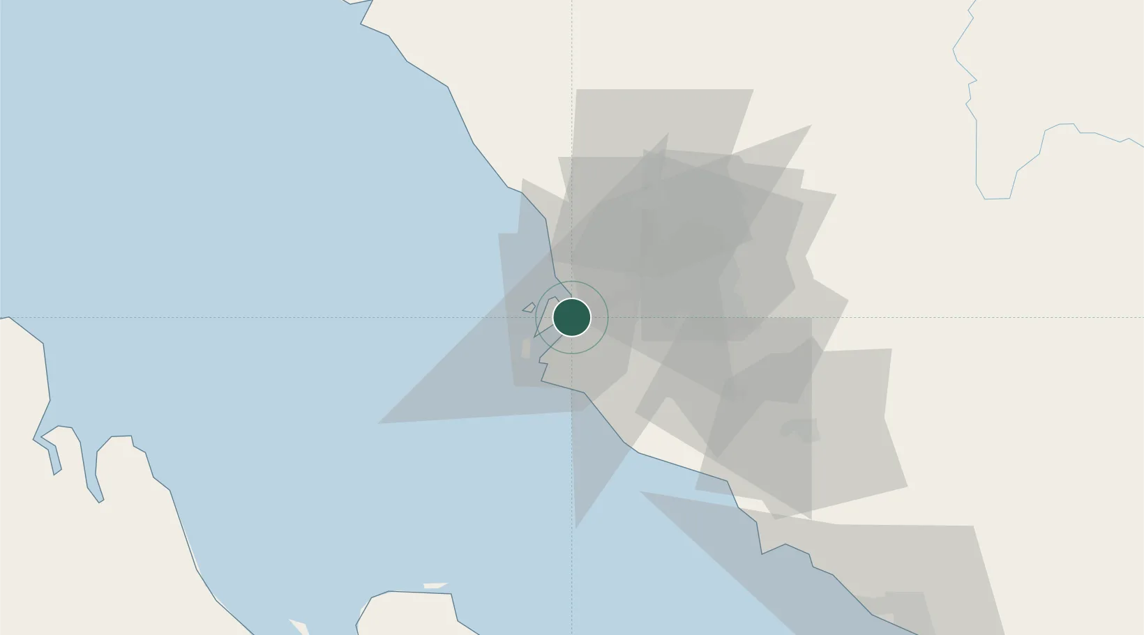
Nearby Logistics Neighbours

Cities
  1. 1Port Klang (Pelabuhan Klang)3 km
  2. 2Pulau Indah6 km
  3. 3Northport/Pt Klang6 km
  4. 4Klang9 km
  5. 5Carey Island Estate12 km
Nearest neighbours — logibook spatial index (haversine) over the source coordinates
Ports
  1. 1Port Klang4 km
  2. 2Port Dickson71 km
  3. 3Teluk Anson118 km
  4. 4Pelabuhan Sungai Udang121 km
  5. 5Melaka134 km
Nearest neighbours — logibook spatial index (haversine) over the source coordinates
Airports
  1. 1Sultan Abdul Aziz Shah International Airport24 km
  2. 2Kuala Lumpur International Airport49 km
  3. 3Malacca International Airport129 km
  4. 4Pinang Kampai Airport157 km
  5. 5Pulau Pangkor Airport164 km
Nearest neighbours — logibook spatial index (haversine) over the source coordinates
Trade Zones
  1. 1Northport Free Zone1 km
  2. 2Selangor Halal Hub Pulau Indah (Shh)6 km
  3. 3Selangor Bio Bay (Sbb)8 km
  4. 4Southpoint Free Zone9 km
  5. 5Westport Free Zone10 km
Nearest neighbours — logibook spatial index (haversine) over the source coordinates
DatabookThe Record of Consolidated Knowledge
Malaysia beyond logistics?
Browse databook

All Sources

LocationsUN/LOCODE
UN/LOCODE — free
Portsthe NGA World Port Index
Public domain (US gov)
AirportsOurAirports
Public domain
Trade Zonesthe World Bank SEZ database
CC BY 4.0
Trade ZonesOpen Zone Map
CC BY
← Malaysia locations