Free Trade Zone · Malaysia

Telok Panglima Garang Free Industrial Zone Active
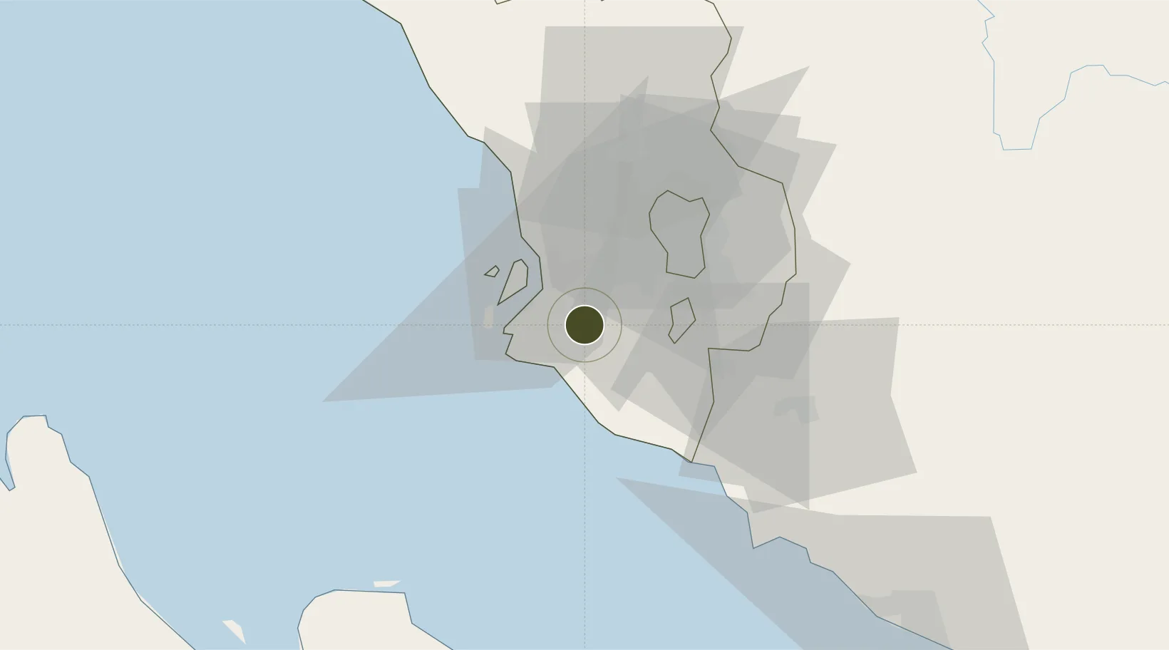
2.9175°, 101.4708°
348 ha
Zone area
12.1 km
Nearest port
25.2 km
Nearest airport

Gateway access

Nearest neighbours — logibook spatial index (haversine) over the source coordinates

Zone profile

Zone type
Free Trade Zone
Open Zone Map
Region
Selangor
Open Zone Map
Status
Active
Open Zone Map
Management
Public
Open Zone Map
Operator
Kuala Langat District Council
Open Zone Map
Legal framework
Free Zones Act of 1990 (Act 438)
Open Zone Map

Location

Location of ozm-2807
Natural Earth 10m (public domain) · Selangor · ozm-2807 · 2.92, 101.47GoogleOSMYandex

Nearby Logistics Neighbours

Ports
  1. 1Port Klang12 km
  2. 2Port Dickson55 km
  3. 3Pelabuhan Sungai Udang105 km
  4. 4Melaka118 km
  5. 5Teluk Anson132 km
Nearest neighbours — logibook spatial index (haversine) over the source coordinates
Airports
  1. 1Sultan Abdul Aziz Shah International Airport25 km
  2. 2Kuala Lumpur International Airport33 km
  3. 3Malacca International Airport113 km
  4. 4Pinang Kampai Airport146 km
  5. 5Pulau Pangkor Airport179 km
Nearest neighbours — logibook spatial index (haversine) over the source coordinates
Cities
  1. 1Carey Island Estate8 km
  2. 2Klang13 km
  3. 3Port Klang (Pelabuhan Klang)13 km
  4. 4Pulau Indah16 km
  5. 5Port Klang (Ferry Port)16 km
Nearest neighbours — logibook spatial index (haversine) over the source coordinates
Trade Zones
  1. 1Southpoint Free Zone10 km
  2. 2Bandar Mahkota Banting Industrial Park13 km
  3. 3Selangor Bio Bay (Sbb)14 km
  4. 4Selangor Halal Hub Pulau Indah (Shh)16 km
  5. 5Northport Free Zone17 km
Nearest neighbours — logibook spatial index (haversine) over the source coordinates
DatabookThe Record of Consolidated Knowledge
Malaysia beyond logistics?
Browse databook

All Sources

Trade ZonesOpen Zone Map
CC BY
Portsthe NGA World Port Index
Public domain (US gov)
AirportsOurAirports
Public domain
LocationsUN/LOCODE
UN/LOCODE — free
← Malaysia trade zones