Transport Functions
Rail
Road
Multimodal
Hub Profile
Place type
Provincial seat
Region
Siauliai
Population
4,352
Time zone
Europe/Vilnius
Elevation
61 m
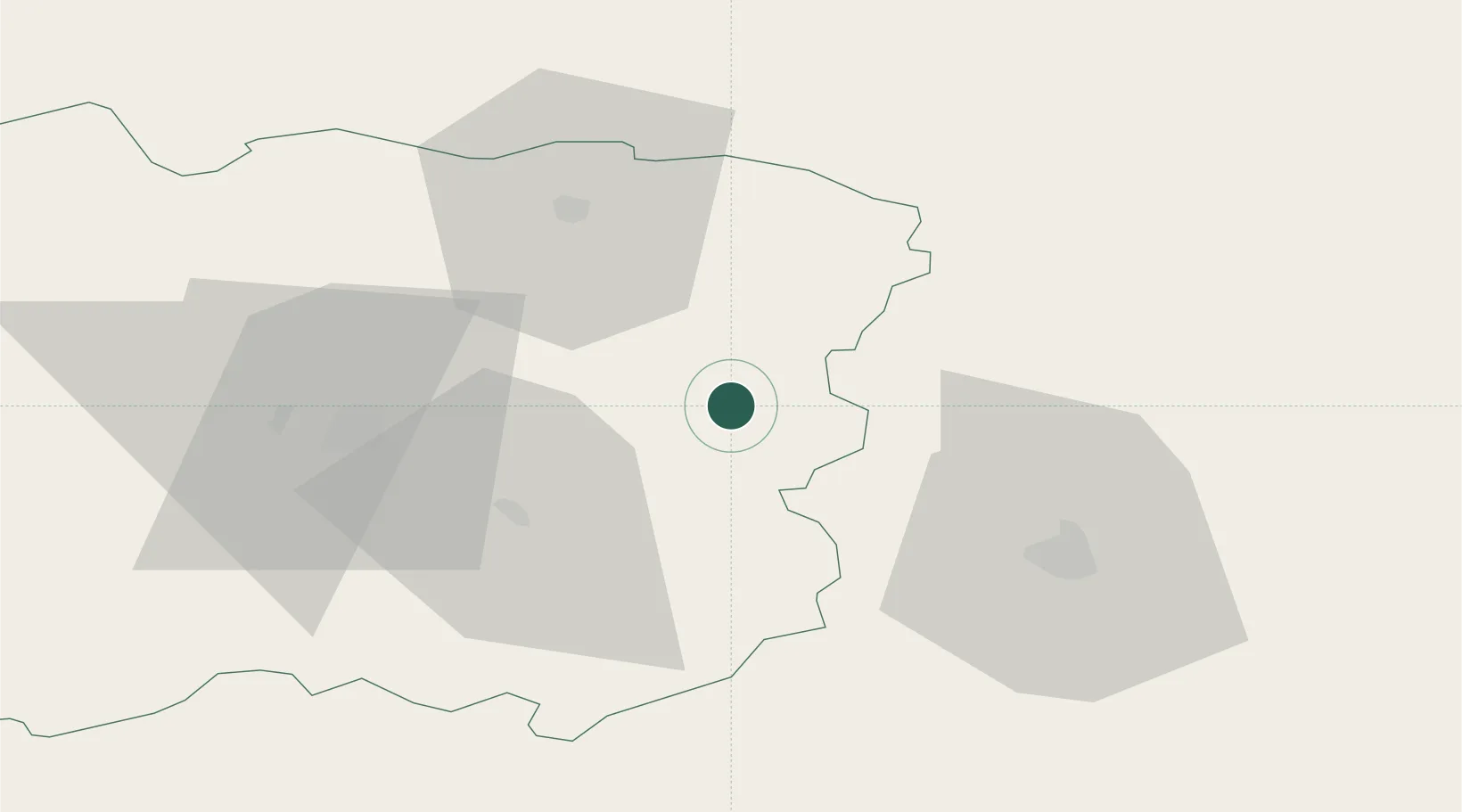
Location
Nearby Logistics Neighbours
Cities
- 1Pusalotas25 km
- 2Radviliskis27 km
- 3Joniskis34 km
- 4Bauska52 km
- 5Tytuvenai58 km
Ports
- 1Riga110 km
- 2Klaipeda174 km
- 3Butinge Oil Terminal182 km
- 4Liepaja186 km
- 5Salacgriva195 km
Airports
- 1Barysiai Airfield22 km
- 2Šiauliai International Airport31 km
- 3Panevėžys Air Base46 km
- 4Kėdainiai Air Base73 km
- 5Riga International Airport106 km
Trade Zones
DatabookThe Record of Consolidated Knowledge
Lithuania beyond logistics?