Transport Functions
Rail
Road
Hub Profile
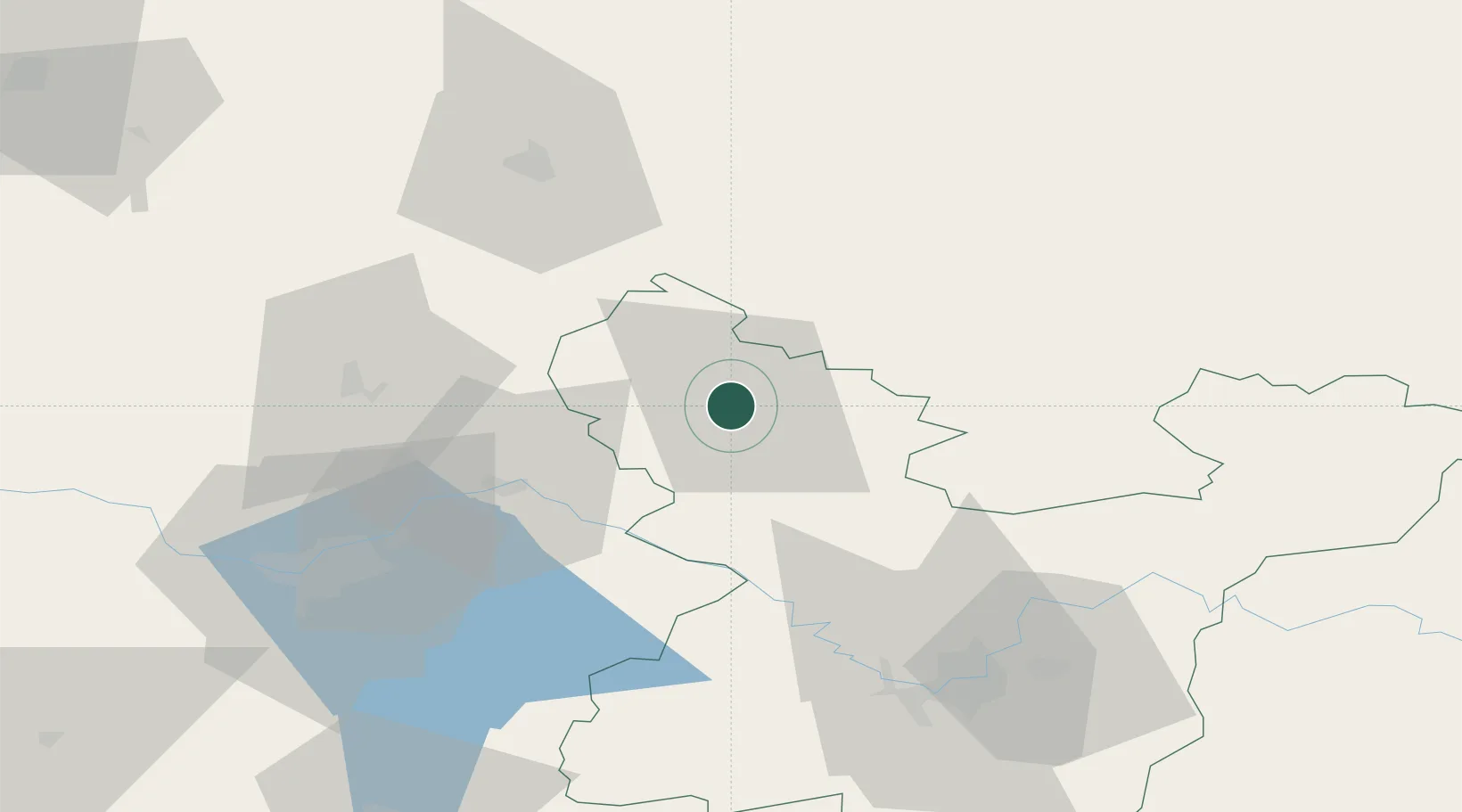
Place type
Populated place
Region
Vilnius
Population
20,154
Time zone
Europe/Vilnius
Elevation
72 m
Location
Nearby Logistics Neighbours
Cities
- 1Sirvintos29 km
- 2Jonava38 km
- 3Anyksciai38 km
- 4Moletai41 km
- 5Kaisiadorys47 km
Ports
- 1Riga194 km
- 2Klaipeda236 km
- 3Butinge Oil Terminal255 km
- 4Liepaja273 km
- 5Salacgriva274 km
Airports
- 1Jonava Air Base37 km
- 2Kėdainiai Air Base52 km
- 3Kaunas International Airport54 km
- 4Panevėžys Air Base57 km
- 5Vilnius International Airport76 km
Trade Zones
DatabookThe Record of Consolidated Knowledge
Lithuania beyond logistics?