Transport Functions
Multimodal
Hub Profile
Place type
Populated place
Region
Utena
Population
10,575
Time zone
Europe/Vilnius
Elevation
74 m
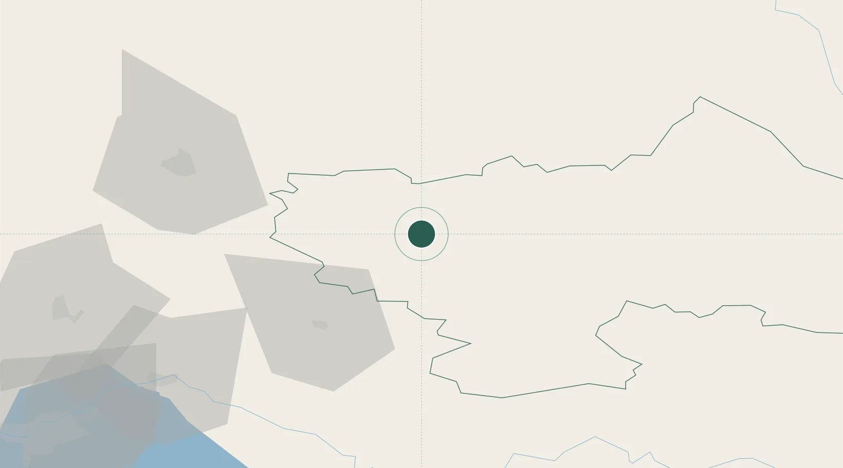
Location
Nearby Logistics Neighbours
Ports
- 1Riga169 km
- 2Salacgriva245 km
- 3Klaipeda251 km
- 4Butinge Oil Terminal265 km
- 5Liepaja276 km
Airports
- 1Panevėžys Air Base46 km
- 2Jonava Air Base75 km
- 3Kėdainiai Air Base76 km
- 4Kaunas International Airport90 km
- 5Vilnius International Airport101 km
Trade Zones
- 1Panevėžys Free Economic Zone59 km
- 2Kėdainiai Free Economic Zone76 km
- 3Kaunas Free Economic Zone96 km
- 4ō iauliai Free Economic Zone116 km
- 5Rēzekne SEZ156 km
DatabookThe Record of Consolidated Knowledge
Lithuania beyond logistics?