Transport Functions
Rail
Road
Hub Profile
Place type
Populated place
Region
Panevėžys
Time zone
Europe/Vilnius
Elevation
44 m
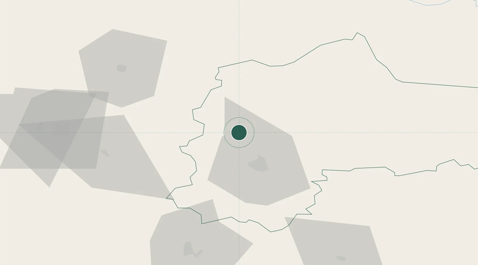
Location
Nearby Logistics Neighbours
Cities
- 1Pakruojis25 km
- 2Radviliskis46 km
- 3Kupiskis47 km
- 4Joniskis53 km
- 5Bauska54 km
Ports
- 1Riga115 km
- 2Klaipeda197 km
- 3Salacgriva198 km
- 4Butinge Oil Terminal206 km
- 5Liepaja211 km
Airports
- 1Panevėžys Air Base25 km
- 2Barysiai Airfield46 km
- 3Šiauliai International Airport53 km
- 4Kėdainiai Air Base70 km
- 5Jonava Air Base101 km
Trade Zones
DatabookThe Record of Consolidated Knowledge
Lithuania beyond logistics?