Large airport · Malta
Malta International AirportLMML
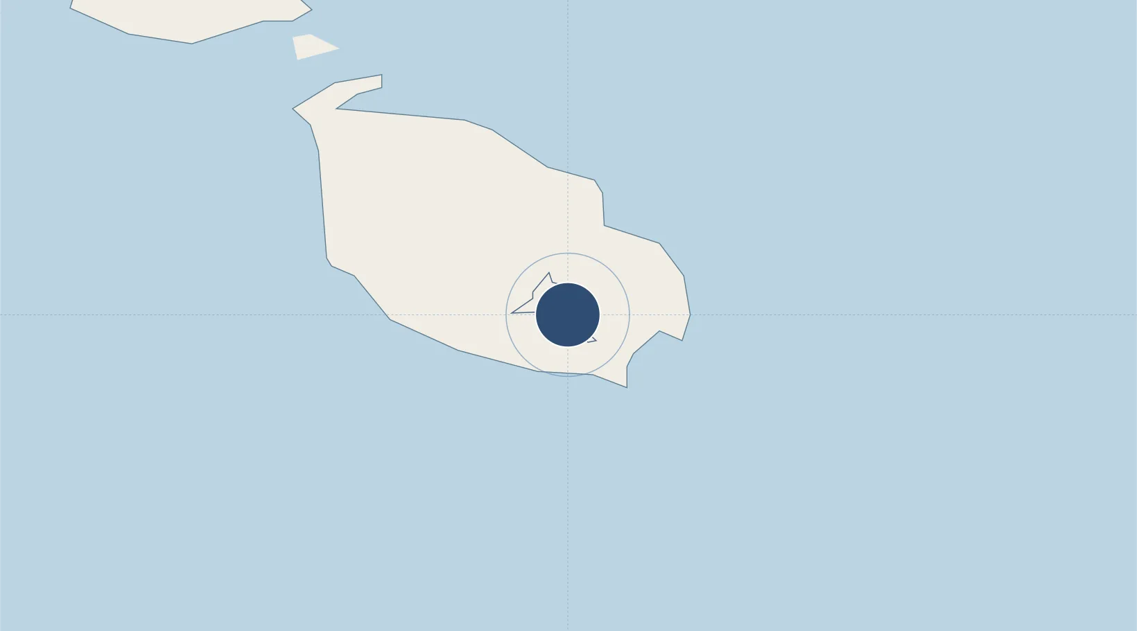
35.8459°, 14.4915°
11,627 ft
Longest runway
2
Runways
300 ft
Elevation
Runway & Layout

Radio Frequencies
Ground
121.6 MHz
APP
128.15 MHz
Distance Radar
130.975 MHz
Leaving
123.625 MHz
Runway
138.1 MHz
Volmet
126.8 MHz
Weather
127.4 MHz
WX
Navaids
LM DME Malta 110.50 MHz
LQ DME Luqa 109.70 MHz
LQA NDB Luqa 416 kHz
MLT NDB Malta 395 kHz
Runways · 2
| Runway | Dimensions | Surface | True heading | Lit |
|---|---|---|---|---|
| 13/31 | 11,627 × 197ft | Asphalt | 135° | ✓ |
| 05/23 | 7,799 × 148ft | Asphalt | 056° | ✓ |
Airport Specifications
IATA code
MLA
ICAO code
LMML
Airport class
Large airport
Scheduled service
Yes
Runway surface
Asphalt
Served city
Valletta
Location
Nearby Logistics Neighbours
Airports
- 1Xewkija Heliport28 km
- 2Comiso Airport128 km
- 3Lampedusa Airport174 km
- 4Sigonella Navy Air Base177 km
- 5Catania-Fontanarossa Airport187 km
Ports
- 1Marsaxlokk6 km
- 2Valletta Harbors6 km
- 3Pozzallo102 km
- 4Gela137 km
- 5Licata147 km
Trade Zones
- 1Malta Freeport5 km
- 2Sicily Special Economic Zone Area191 km
- 3Zwara-Abu-Kemmash Free Trade Zone394 km
- 4Misurata Free Zone396 km
- 5Ben Guerdane Economic Free Zone404 km
DatabookThe Record of Consolidated Knowledge
Malta beyond logistics?