Transport Functions
Port
Multimodal
Hub Profile
Place type
Regional capital
Region
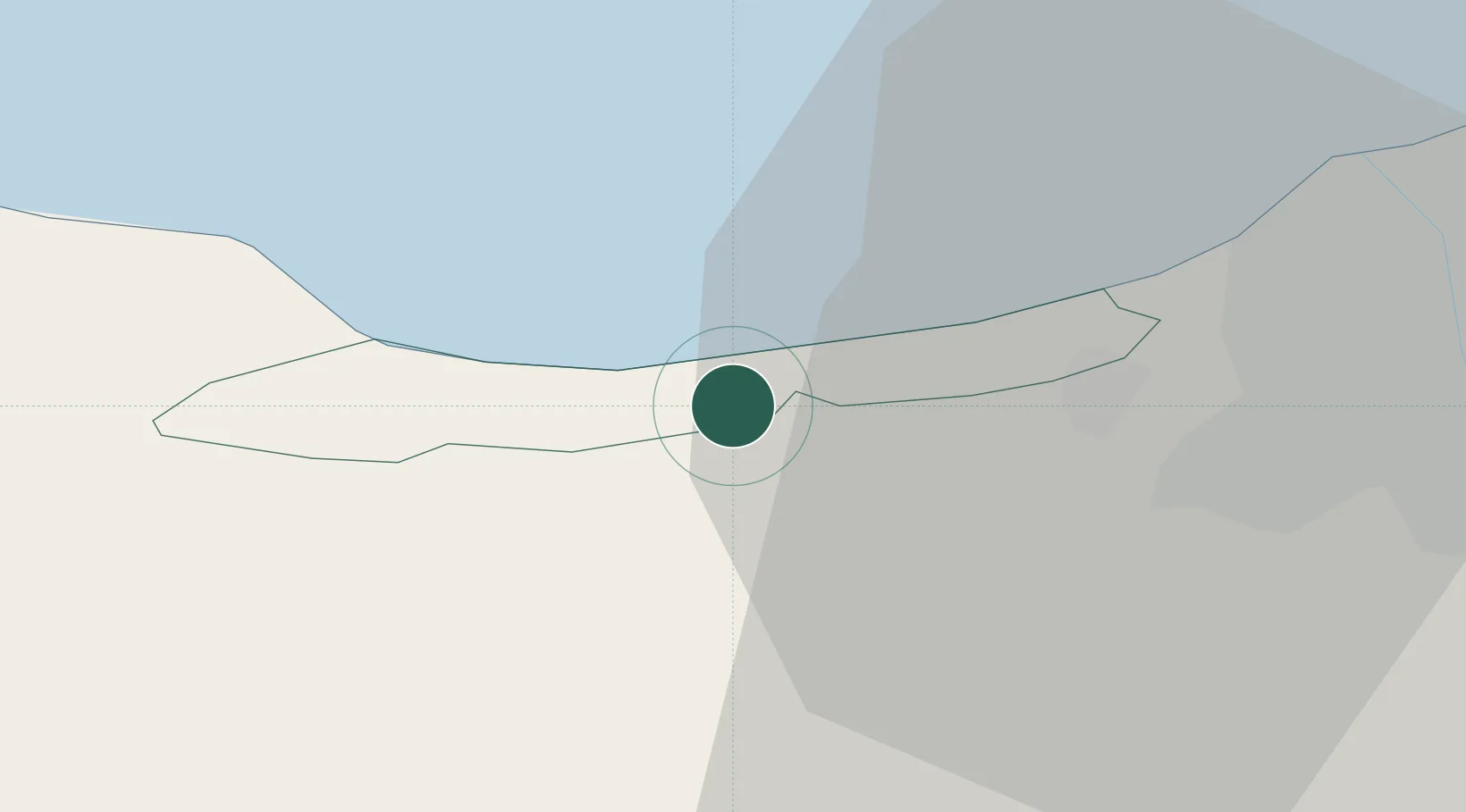
Jūrmala
Population
52,001
Time zone
Europe/Riga
Elevation
6 m
Location
Nearby Logistics Neighbours
Ports
- 1Riga21 km
- 2Salacgriva91 km
- 3Ventspils143 km
- 4Roomassaare159 km
- 5Parnu165 km
Airports
- 1Riga International Airport14 km
- 2Jūrmala Airport32 km
- 3Ruhnu Airfield97 km
- 4Barysiai Airfield99 km
- 5Šiauliai International Airport119 km
Trade Zones
- 1Free Port of Riga21 km
- 2Akmenė Free Economic Zone100 km
- 3ō iauliai Free Economic Zone119 km
- 4Free port of Ventspils143 km
- 5Panevėžys Free Economic Zone170 km
DatabookThe Record of Consolidated Knowledge
Latvia beyond logistics?