Small airport · Estonia
Ruhnu AirfieldEERU
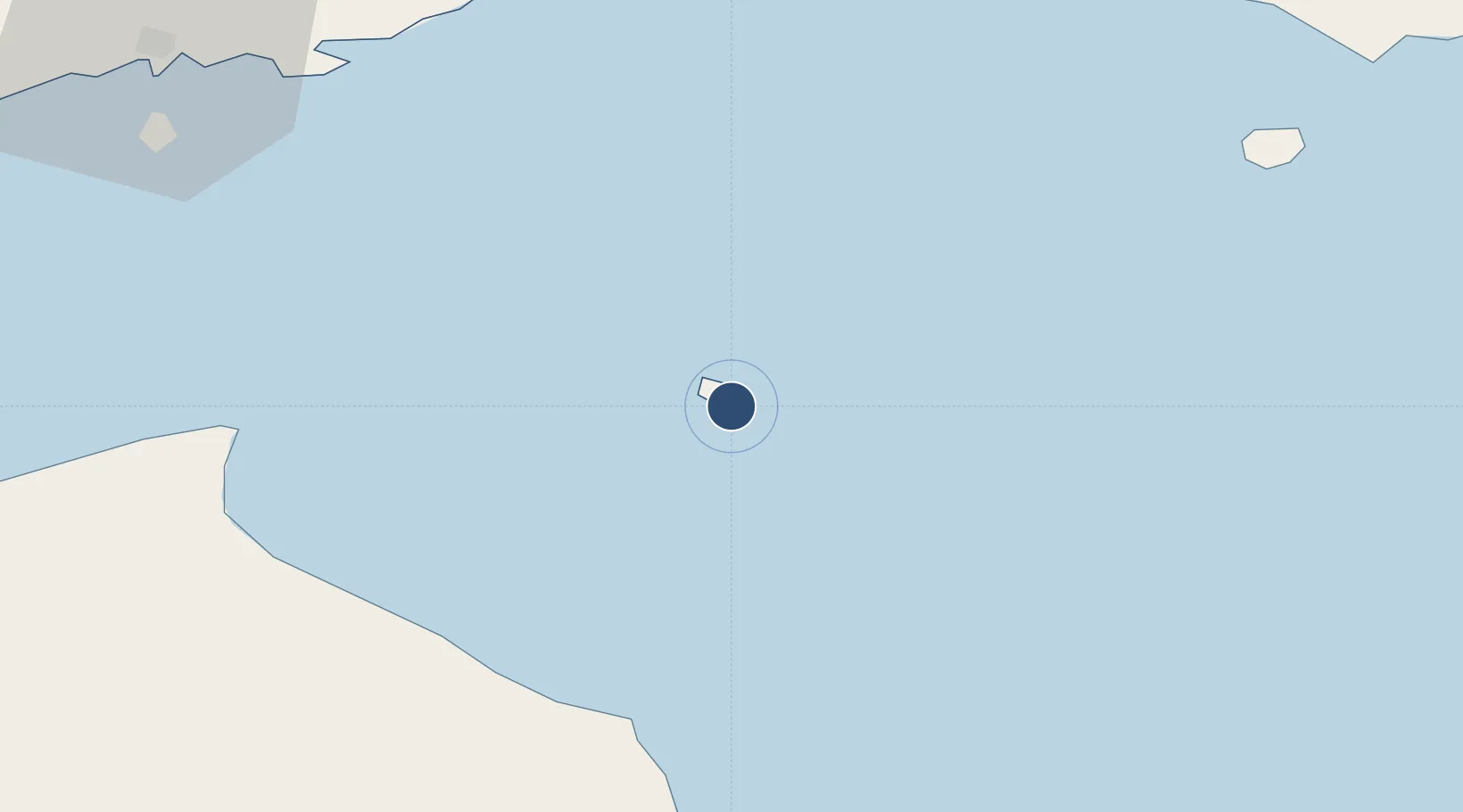
57.7856°, 23.2624°
1,967 ft
Longest runway
1
Runways
10 ft
Elevation
Runway & Layout

Runways · 1
| Runway | Dimensions | Surface | True heading | Lit |
|---|---|---|---|---|
| 13/31 | 1,967 × 65ft | GRAS reinforced | — | — |
Airport Specifications
ICAO code
EERU
Airport class
Small airport
Scheduled service
Yes
Runway surface
GRAS reinforced
Served city
Ringsu
Location
Nearby Logistics Neighbours
Airports
- 1Kuressaare Airport66 km
- 2Jūrmala Airport94 km
- 3Pärnu Airport100 km
- 4Riga International Airport105 km
- 5Kärdla Airport136 km
Cities
- 1Ringsu0 km
- 2Roja42 km
- 3Mersrags51 km
- 4Suaru Kalasadam58 km
- 5Kihnu59 km
Ports
- 1Roomassaare65 km
- 2Salacgriva66 km
- 3Virtsu89 km
- 4Parnu98 km
- 5Saaremaa sadam103 km
Trade Zones
- 1Free Port of Riga105 km
- 2Free port of Ventspils112 km
- 3Akmenė Free Economic Zone174 km
- 4Paldiski Free Zone179 km
- 5Muuga Free Zone196 km
DatabookThe Record of Consolidated Knowledge
Estonia beyond logistics?