Transport Functions
Multimodal
Hub Profile
Place type
Regional capital
Region
Ādaži
Population
6,734
Time zone
Europe/Riga
Elevation
5 m
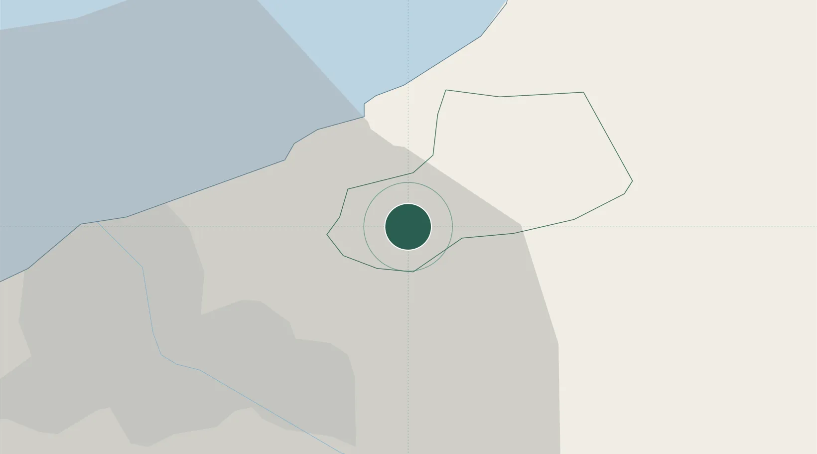
Location
Nearby Logistics Neighbours
Ports
- 1Riga18 km
- 2Salacgriva71 km
- 3Parnu147 km
- 4Roomassaare167 km
- 5Virtsu174 km
Airports
- 1Riga International Airport27 km
- 2Jūrmala Airport68 km
- 3Ruhnu Airfield102 km
- 4Jēkabpils Air Base113 km
- 5Barysiai Airfield120 km
Trade Zones
- 1Free Port of Riga18 km
- 2Akmenė Free Economic Zone133 km
- 3ō iauliai Free Economic Zone142 km
- 4Free port of Ventspils172 km
- 5Panevėžys Free Economic Zone181 km
DatabookThe Record of Consolidated Knowledge
Latvia beyond logistics?