Transport Functions
Rail
Road
Hub Profile
Place type
Provincial seat
Region
Ropaži Municipality
Time zone
Europe/Riga
Elevation
12 m
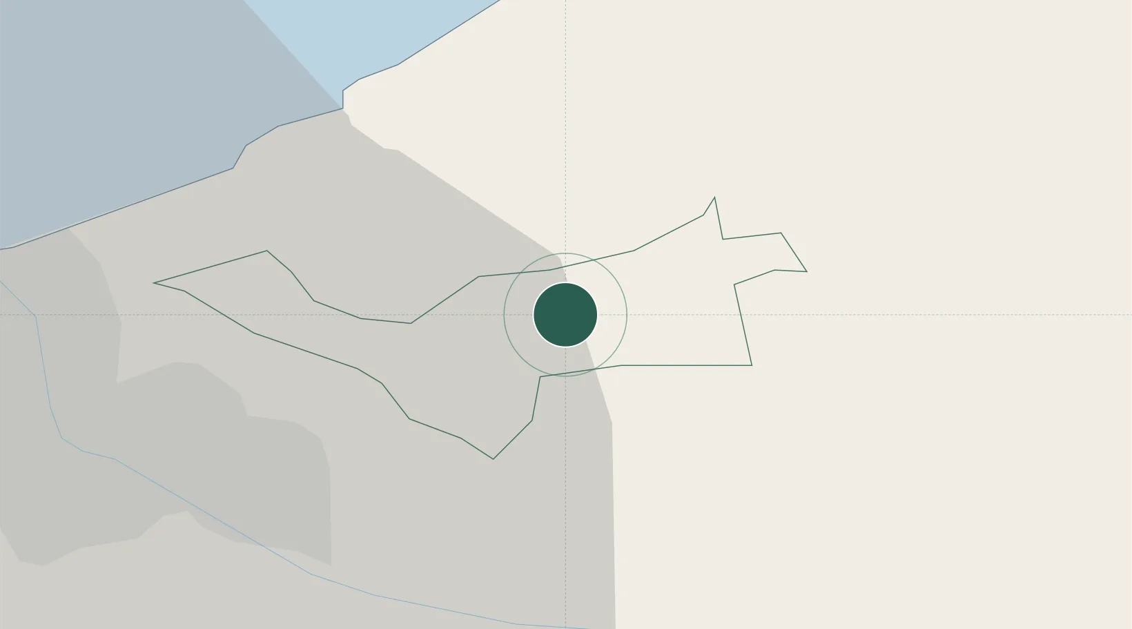
Location
Nearby Logistics Neighbours
Ports
- 1Riga21 km
- 2Salacgriva74 km
- 3Parnu150 km
- 4Roomassaare174 km
- 5Virtsu180 km
Airports
- 1Riga International Airport30 km
- 2Jūrmala Airport73 km
- 3Jēkabpils Air Base106 km
- 4Ruhnu Airfield109 km
- 5Barysiai Airfield119 km
Trade Zones
- 1Free Port of Riga21 km
- 2Akmenė Free Economic Zone135 km
- 3ō iauliai Free Economic Zone142 km
- 4Panevėžys Free Economic Zone178 km
- 5Free port of Ventspils179 km
DatabookThe Record of Consolidated Knowledge
Latvia beyond logistics?