Transport Functions
Road
Multimodal
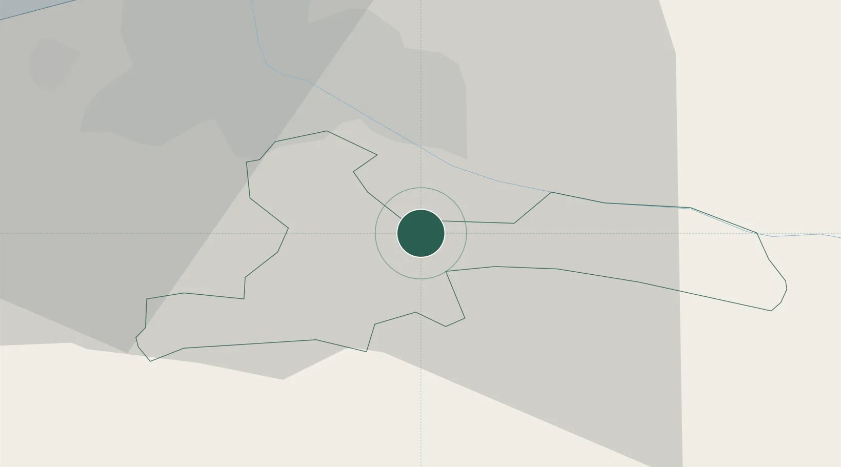
Hub Profile
Place type
Regional capital
Region
Ķekava
Population
5,446
Time zone
Europe/Riga
Elevation
9 m
Location
Nearby Logistics Neighbours
Ports
- 1Riga17 km
- 2Salacgriva99 km
- 3Parnu175 km
- 4Roomassaare187 km
- 5Virtsu200 km
Airports
- 1Riga International Airport20 km
- 2Jūrmala Airport63 km
- 3Barysiai Airfield93 km
- 4Jēkabpils Air Base106 km
- 5Šiauliai International Airport115 km
Trade Zones
- 1Free Port of Riga18 km
- 2Akmenė Free Economic Zone112 km
- 3ō iauliai Free Economic Zone115 km
- 4Panevėžys Free Economic Zone153 km
- 5Kėdainiai Free Economic Zone173 km
DatabookThe Record of Consolidated Knowledge
Latvia beyond logistics?