Medium airport · Latvia

Jēkabpils Air BaseEVKA
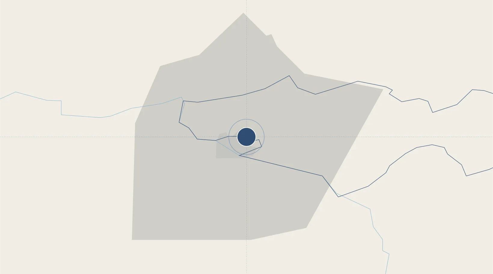
56.5347°, 25.8925°
2,361 ft
Longest runway
1
Runways
289 ft
Elevation

Runway & Layout

Jēkabpils Air Base runway & taxiway layout
Runway & taxiway layout — OpenStreetMap (ODbL) / OurAirports

Runways · 1

RunwayDimensions SurfaceTrue headingLit
07/25 2,361 × 131ft Concrete
OurAirports

Airport Specifications

ICAO code
EVKA
OurAirports
Airport class
Medium airport
OurAirports
Scheduled service
No
OurAirports
Runway surface
Concrete
OurAirports
Served city
Jēkabpils
OurAirports

Location

Location of EVKA
Natural Earth 10m (public domain) · Krustpils · EVKA · 56.53, 25.89GoogleOSMYandex

Nearby Logistics Neighbours

Airports
  1. 1Daugavpils International Airport81 km
  2. 2Riga International Airport125 km
  3. 3Panevėžys Air Base126 km
  4. 4Barysiai Airfield153 km
  5. 5Jūrmala Airport169 km
Nearest neighbours — logibook spatial index (haversine) over the source coordinates
Cities
  1. 1Jekabpils6 km
  2. 2Livani26 km
  3. 3Koknese31 km
  4. 4Madona40 km
  5. 5Akniste42 km
Nearest neighbours — logibook spatial index (haversine) over the source coordinates
Ports
  1. 1Riga119 km
  2. 2Salacgriva159 km
  3. 3Parnu222 km
  4. 4Virtsu268 km
  5. 5Roomassaare276 km
Nearest neighbours — logibook spatial index (haversine) over the source coordinates
Trade Zones
  1. 1Latgale SEZ84 km
  2. 2Rēzekne SEZ84 km
  3. 3Free Port of Riga119 km
  4. 4Panevėžys Free Economic Zone162 km
  5. 5ō iauliai Free Economic Zone171 km
Nearest neighbours — logibook spatial index (haversine) over the source coordinates
DatabookThe Record of Consolidated Knowledge
Latvia beyond logistics?
Browse databook

All Sources

AirportsOurAirports
Public domain
Portsthe NGA World Port Index
Public domain (US gov)
LocationsUN/LOCODE
UN/LOCODE — free
Trade Zonesthe World Bank SEZ database
CC BY 4.0
Trade ZonesOpen Zone Map
CC BY
InfrastructureOpenStreetMap
ODbL 1.0
← Latvia airports