UN/LOCODE hub · Latvia
LVRIX
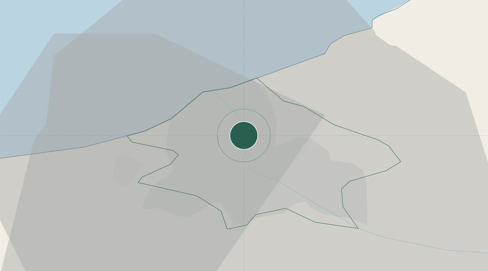
Riga
57.0065°, 24.0947°
742,572
Population
4
Transport functions
3
Container terminals
Transport Functions
Port
Rail
Airport
Postal
Hub Profile
Place type
National capital
Region
Riga
Population
742,572
Time zone
Europe/Riga
Elevation
6 m
Logistics facilities
8
Container terminals
3
Location
Nearby Logistics Neighbours
Ports
- 1Salacgriva79 km
- 2Parnu155 km
- 3Roomassaare164 km
- 4Virtsu178 km
- 5Saaremaa sadam203 km
Airports
- 1Riga International Airport12 km
- 2Jūrmala Airport53 km
- 3Ruhnu Airfield100 km
- 4Barysiai Airfield109 km
- 5Jēkabpils Air Base122 km
Trade Zones
- 1Free Port of Riga6 km
- 2Akmenė Free Economic Zone119 km
- 3ō iauliai Free Economic Zone131 km
- 4Free port of Ventspils161 km
- 5Panevėžys Free Economic Zone174 km
DatabookThe Record of Consolidated Knowledge
Latvia beyond logistics?