Large airport · Laos

Wattay International AirportVLVT
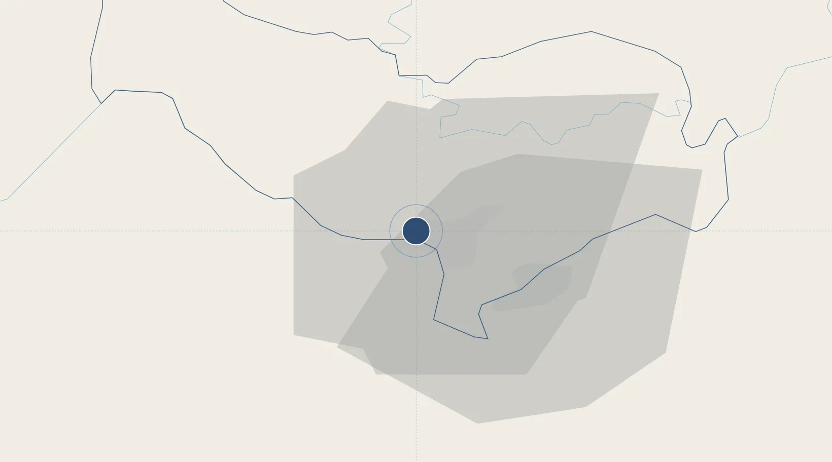
17.9851°, 102.5667°
9,843 ft
Longest runway
1
Runways
564 ft
Elevation

Runway & Layout

Wattay International Airport runway & taxiway layout
Runway & taxiway layout — OpenStreetMap (ODbL) / OurAirports

Radio Frequencies

TWR
118.1 MHz
VIENTIANE TWR
APP
119.7 MHz
VIENTIANE APP
OurAirports

Navaids

VE NDB Vientiane 205 kHz
VTG NDB Thangone 405 kHz
VTN VOR-DME Vientiane 117.50 MHz
WY NDB Wattay 389 kHz
OurAirports

Runways · 1

RunwayDimensions SurfaceTrue headingLit
13/31 9,843 × 148ft Asphalt 135°
OurAirports

Airport Specifications

IATA code
VTE
OurAirports
ICAO code
VLVT
OurAirports
Airport class
Large airport
OurAirports
Scheduled service
Yes
OurAirports
Runway surface
Asphalt
OurAirports
Served city
Vientiane
OurAirports

Location

Location of VLVT
Natural Earth 10m (public domain) · Vientiane [prefecture] · VLVT · 17.99, 102.57GoogleOSMYandex

Nearby Logistics Neighbours

Airports
  1. 1Udon Thani International Airport71 km
  2. 2Loei Airport108 km
  3. 3Khon Kaen Airport170 km
  4. 4Xieng Khouang Airport174 km
  5. 5Sakon Nakhon Airport187 km
Nearest neighbours — logibook spatial index (haversine) over the source coordinates
Cities
  1. 1Vientiane3 km
  2. 2Thanaleng17 km
  3. 3Phonhong58 km
  4. 4Vangrieng105 km
  5. 5Khon Kaen175 km
Nearest neighbours — logibook spatial index (haversine) over the source coordinates
Ports
  1. 1Nghe Tinh349 km
  2. 2Bangkok520 km
  3. 3Hai Phong541 km
  4. 4Si Racha Terminal564 km
  5. 5Ko Si Chang Terminal568 km
Nearest neighbours — logibook spatial index (haversine) over the source coordinates
Trade Zones
  1. 1Saysetha Development Zone6 km
  2. 2Thatluang Lake Specific Economic Zone9 km
  3. 3Longthanh- Vientiane Specific Economic Zone16 km
  4. 4Dongphosy Specific Economic Zone18 km
  5. 5Nong Khai Special Economic Zone22 km
Nearest neighbours — logibook spatial index (haversine) over the source coordinates
DatabookThe Record of Consolidated Knowledge
Laos beyond logistics?
Browse databook

All Sources

AirportsOurAirports
Public domain
Portsthe NGA World Port Index
Public domain (US gov)
LocationsUN/LOCODE
UN/LOCODE — free
Trade Zonesthe World Bank SEZ database
CC BY 4.0
Trade ZonesOpen Zone Map
CC BY
InfrastructureOpenStreetMap
ODbL 1.0
← Laos airports