Transport Functions
Rail
Road
Airport
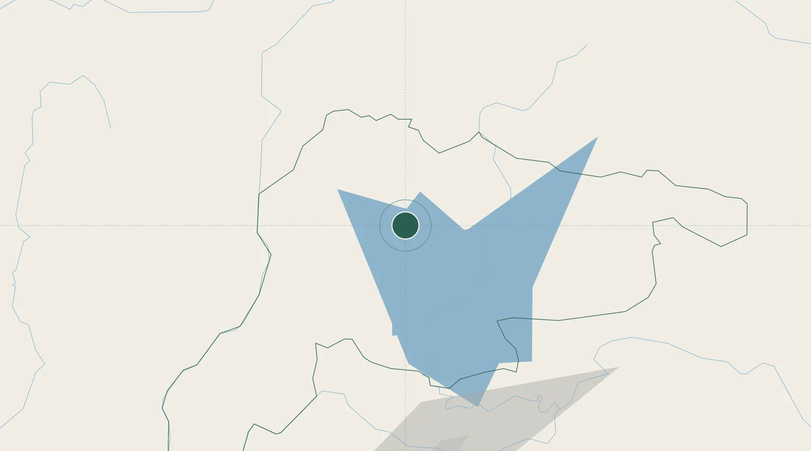
Location
Nearby Logistics Neighbours
Cities
- 1Phonhong48 km
- 2Vientiane106 km
- 3Luang Prabang110 km
- 4Thanaleng116 km
- 5Oudomxay200 km
Airports
- 1Xieng Khouang Airport97 km
- 2Wattay International Airport105 km
- 3Luang Phabang International Airport113 km
- 4Nan Airport174 km
- 5Udon Thani International Airport174 km
Trade Zones
DatabookThe Record of Consolidated Knowledge
Laos beyond logistics?