Free Trade Zone · Laos

Vientiane Industrial And Trade Area (Vita Park) Active
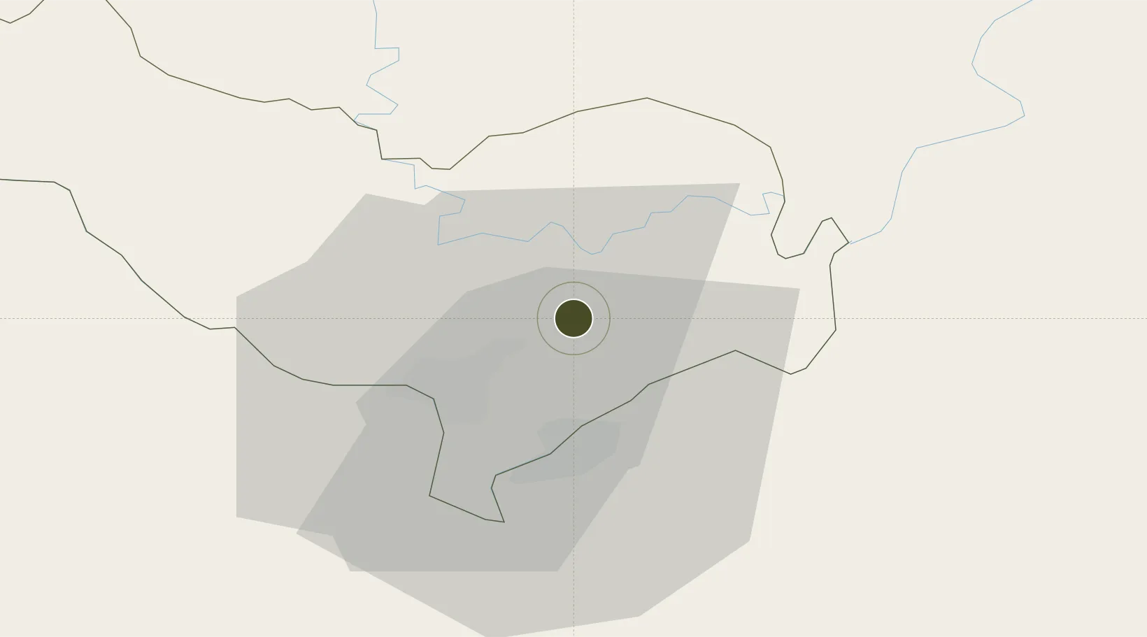
18.0496°, 102.7647°
110 ha
Zone area
326.6 km
Nearest port
22.1 km
Nearest airport

Gateway access

Nearest neighbours — logibook spatial index (haversine) over the source coordinates

Zone profile

Zone type
Free Trade Zone
Open Zone Map
Region
Vientiane [prefecture]
Open Zone Map
Status
Active
Open Zone Map
Management
Public-Private Partnership
Open Zone Map
Operator
Nam Wei Development Co., Ltd
Open Zone Map
Legal framework
Prime Minister’s Decree No. 443 on Special Economic Zone dated 26/10/2010
Open Zone Map

Location

Location of ozm-2692
Natural Earth 10m (public domain) · Vientiane [prefecture] · ozm-2692 · 18.05, 102.76GoogleOSMYandex

Nearby Logistics Neighbours

Ports
  1. 1Nghe Tinh327 km
  2. 2Hai Phong520 km
  3. 3Bangkok536 km
  4. 4Hon Gai554 km
  5. 5Si Racha Terminal578 km
Nearest neighbours — logibook spatial index (haversine) over the source coordinates
Airports
  1. 1Wattay International Airport22 km
  2. 2Udon Thani International Airport74 km
  3. 3Loei Airport130 km
  4. 4Xieng Khouang Airport161 km
  5. 5Sakon Nakhon Airport172 km
Nearest neighbours — logibook spatial index (haversine) over the source coordinates
Cities
  1. 1Thanaleng17 km
  2. 2Vientiane25 km
  3. 3Phonhong62 km
  4. 4Vangrieng103 km
  5. 5Khon Kaen180 km
Nearest neighbours — logibook spatial index (haversine) over the source coordinates
Trade Zones
  1. 1Thatluang Lake Specific Economic Zone16 km
  2. 2Longthanh- Vientiane Specific Economic Zone18 km
  3. 3Dongphosy Specific Economic Zone18 km
  4. 4Saysetha Development Zone19 km
  5. 5Nong Khai Special Economic Zone19 km
Nearest neighbours — logibook spatial index (haversine) over the source coordinates
DatabookThe Record of Consolidated Knowledge
Laos beyond logistics?
Browse databook

All Sources

Trade ZonesOpen Zone Map
CC BY
Portsthe NGA World Port Index
Public domain (US gov)
AirportsOurAirports
Public domain
LocationsUN/LOCODE
UN/LOCODE — free
← Laos trade zones